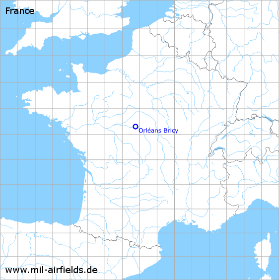
Orléans Bricy Air Base
Base aérienne 123, B.A. 123
Historical approach and aerodrome charts
Base aérienne 123 Orléans-Bricy - Cartes d'approche / d'atterrissage historiques
For historical information only, do not use for navigation or aviation purposes!
| Coordinates | N475916 E0014539 (WGS84) Google Maps |
| Location indicator | LFOJ |
In the 1960s

NDB approach runway 256 (October 1960) - There are two runways - 076/256: length 2400 m, width 80 m (7874 feet x 262 feet), grass runway 053/233: length 1000 m, width 100 m (3280 feet x 328 feet). (Source: US DoD)
Index to the objects shown on the maps
Radio beacons / Radiophares aéronautiques:
- Bricy NDB "KK"
Air traffic control / Contrôle de la circulation aérienne:
- Bricy Approach Control
- Orleans Airport
Source for all maps, if not marked otherwise: US Department of Defense (US DoD)
Links
http://memoire.aviation-civile.gouv.fr/GED_RZH/123... - Airfield data from 1946
http://memoire.aviation-civile.gouv.fr/GED_RZH/123... - Approach and aerodrome charts from 1946
http://memoire.aviation-civile.gouv.fr/GED_RZH/208... - Charts from 1951
 mil-airfields.de at Facebook