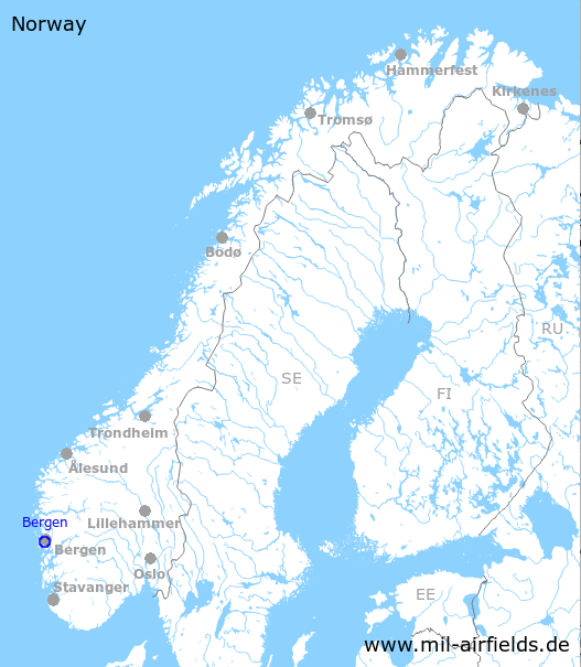
Bergen Flesland Airport
Bergen Lufthavn, Flesland
Historical approach and aerodrome charts
For historical information only, do not use for navigation or aviation purposes!
| Coordinates | N601738 E0051305 (WGS84) Google Maps |
| Region | Vestland |
In the 1960s
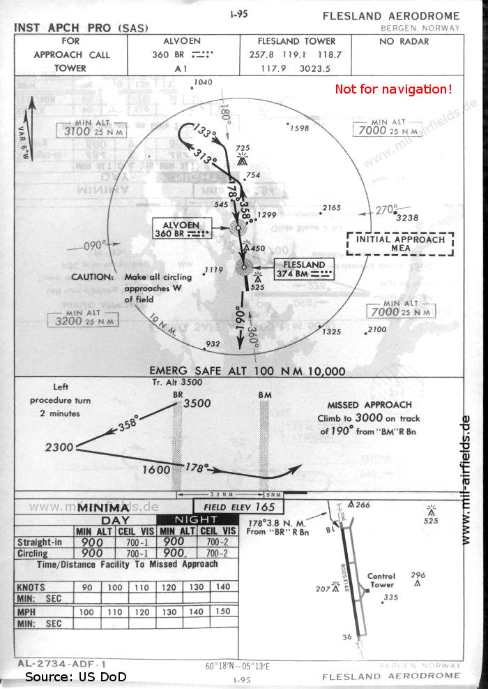
NDB approach runway 18 (October 1960) - There is one runway - 18/36: length 2440 m, width 45 m (8005 feet x 148 feet). (Source: US DoD)
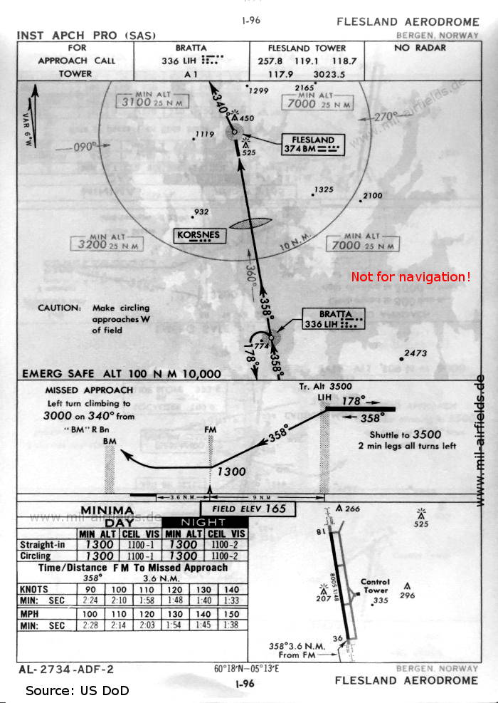
NDB approach runway 36 (October 1960) (Source: US DoD)
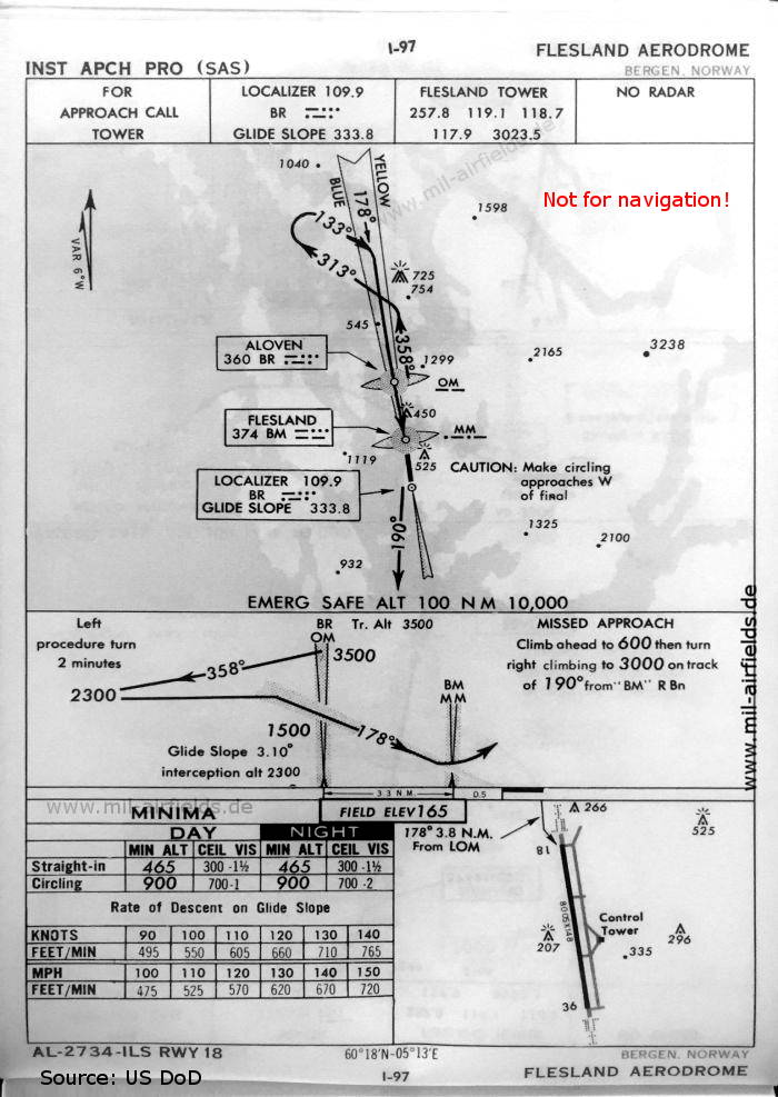
ILS approach runway 18 (October 1960) (Source: US DoD)
Index to the objects shown on the maps
Radio beacons / Radiofyret:
- Alvoen (Alvøen) NDB "BR"
- Bratta NDB "LIH"
- Flesland NDB "BM", ILS Localizer "BR", Outer Marker, Middle Marker
- Korsnes Fan Marker
Air traffic control / Flygekontrolltjeneste:
- Flesland Tower
Source for all maps, if not marked otherwise: US Department of Defense (US DoD)
 mil-airfields.de at Facebook