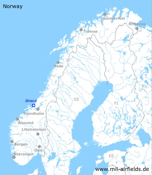
Ørland Air Base
Ørland lufthavn, Brekstad, Ørland hovedflystasjon
Historical approach and aerodrome charts
For historical information only, do not use for navigation or aviation purposes!
| Coordinates | N634158 E0093613 (WGS84) Google Maps |
| Region | Trøndelag, Trondheimsfjorden |
| Location indicator | ENOL |
| Operator | Luftforsvaret / Royal Norwegian Air Force |
In the 1960s
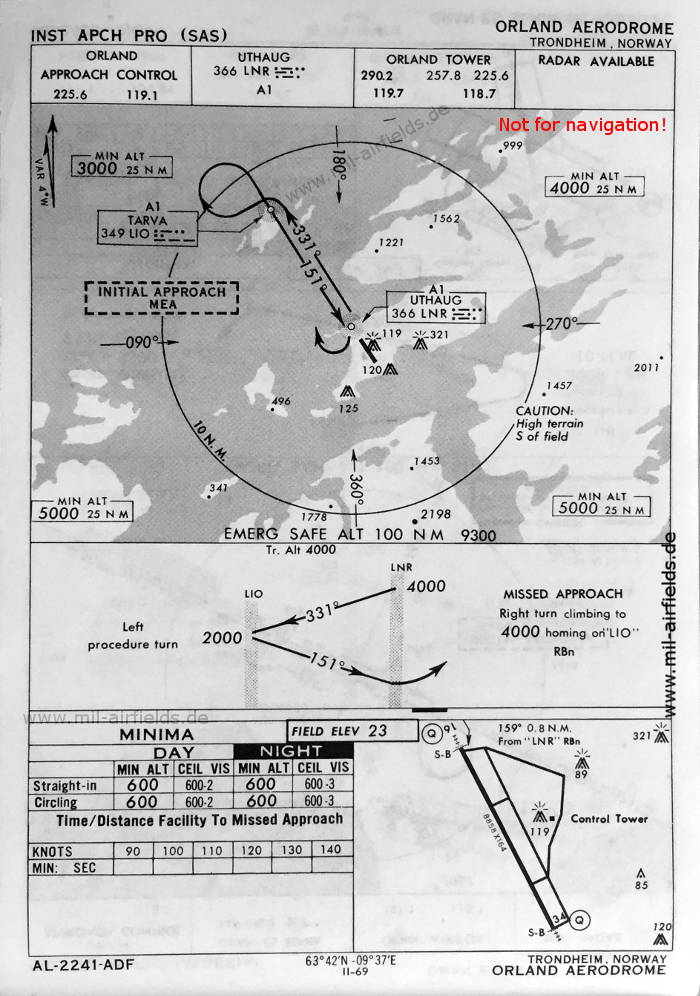
NDB approach runway 16 (May 1966) - There is one runway - 16/34: length 2700 m, width 50 m (8858 feet x 164 feet). (Source: US DoD)
Index to the objects shown on the maps
Radio beacons / Radiofyret:
- Tarva NDB "LIO"
- Uthaug NDB "LNR"
Air traffic control / Flygekontrolltjeneste:
- Orland Approach Control, Orland Tower
Source for all maps, if not marked otherwise: US Department of Defense (US DoD)
 mil-airfields.de at Facebook