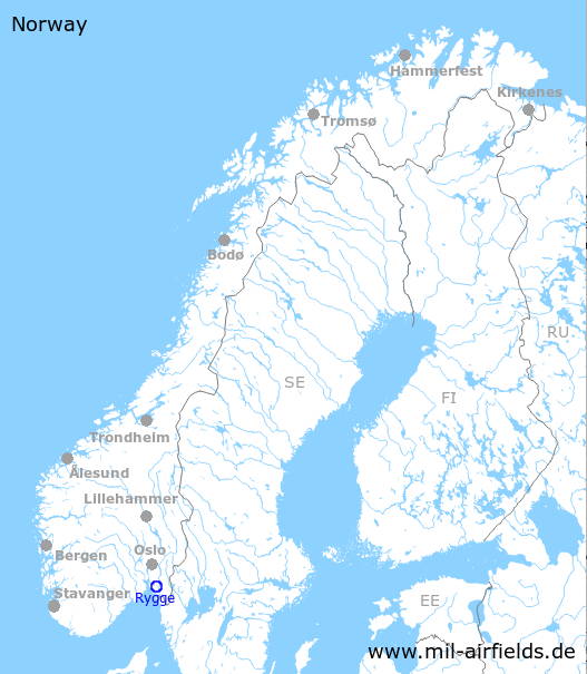
Rygge Air Base
Rygge flystasjon; Hovedflystasjon Rygge, Moss lufthavn, Rygge
Historical approach and aerodrome charts
For historical information only, do not use for navigation or aviation purposes!
| Coordinates | N592245 E0104702 (WGS84) Google Maps |
| Region | Viken |
| Location indicator | ENRY |
| Operator | Luftforsvaret / Royal Norwegian Air Force |
In the 1960s
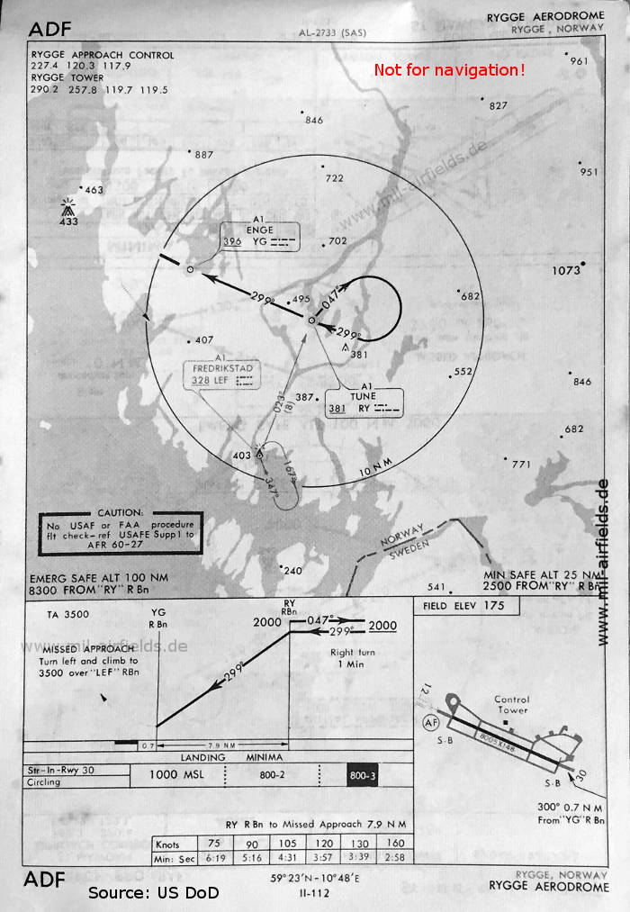
NDB approach runway 30 (May 1966) (Source: US DoD)
In the 1970s
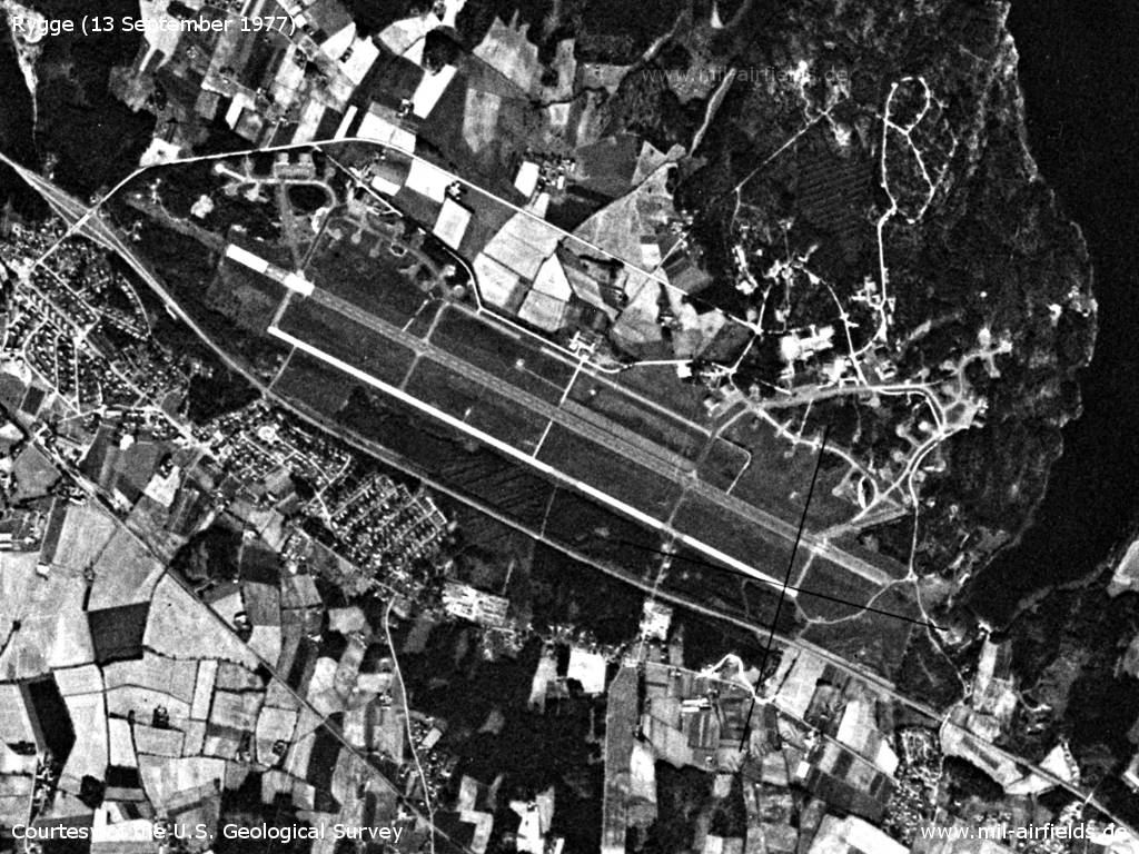
Satellite image from 13 September 1977 - The date may be wrong. (Source: U.S. Geological Survey)
Index to the objects shown on the maps
Radio beacons / Radiofyret:
- Enge NDB "YG"
- Frederikstad NDB "LEF"
- Tune NDB "RY"
Air traffic control / Flygekontrolltjeneste:
- Rygge Approach Control, Rygge Tower
Source for all maps, if not marked otherwise: US Department of Defense (US DoD)
 mil-airfields.de at Facebook