For historical information only, do not use for navigation or aviation purposes!
| Coordinates | N502838 E0112724 (WGS84) Google Maps |
| Federal state | Thüringen (Thuringia) |
Germany during the Cold War Map
The history of the Cold War airfields: Lehesten
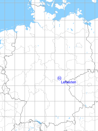
Location of airfield
Northeast of Lehesten.
Usage during the Cold War
Helipad 3178 for Radar Company 515 (FuTK-515) of former East German Air Force (NVA LSK/LV).
Use today
Closed.
Runways, taxiways, aprons
Dimensions: 75 m x 50 m,
main takeoff and landing direction: 300°,
surface: grass,
usable without crop damage,
capacity: 1 helicopter.
main takeoff and landing direction: 300°,
surface: grass,
usable without crop damage,
capacity: 1 helicopter.
Telephone
Stabsnetz S1 36496-11
Airspace and procedures
Usable at day during good weather conditions.
Alert time: 60 minutes.
Alert time: 60 minutes.
Obstacles
Trees: direction 0°, distance 100 m, height 10 m.
Airfields in the vicinity
- 265°/26km Steinheid: Helipad 3175 (HSLP / HLP 3175)
- 332°/38km Remda: Helipad 3150 (HSLP / HLP 3150)
 Follow mil-airfields on Facebook