Rheine-Bentlage: Airfield
For historical information only, do not use for navigation or aviation purposes!
| Coordinates | N521728 E0072313 (WGS84) Google Maps |
| Location indicator | EDCE (-1995), ETHE (1995-) |
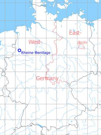
Germany during the Cold War Map
The history of the Cold War airfields: Rheine-Bentlage
During World War II
Situation
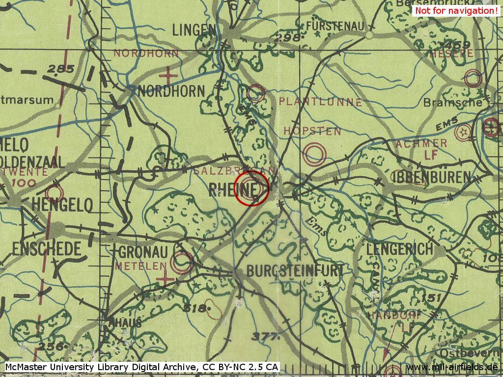
Rheine-Bentlage Airfield in World War II on a US map from 194x - (McMaster University Library Digital Archive, License: Creative Commons Attribution-NonCommercial 2.5 CC BY-NC 2.5 CA /MULDA/)
Overview
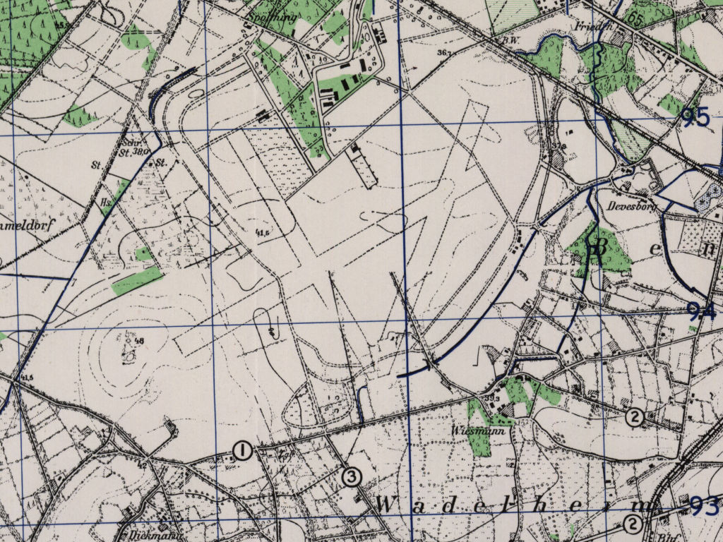
The former Rheine Bentlage air base on a US map from 1951 - On this area north-west of Rheine, the army airfield was later built (AMS M841 GSGS 4414, Courtesy Harold B. Lee Library, Brigham Young University /BYU/)
During the Cold War
Use
German Army Aviation airfield.
1980s
Radio beacons
- NDB: 401.5 "BET", at field
Airfields in the vicinity
- 063°/12km Hopsten: Air Base (Rheine)