For historical information only, do not use for navigation or aviation purposes!
| Coordinates | N524926 E0130424 (WGS84) Google Maps |
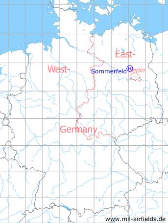
Germany during the Cold War Map
The history of the Cold War airfields: Sommerfeld
Location of airfield
3.4 km northeast of Sommerfeld.
Usage during the Cold War
Helipad for anti-aircraft missile unit 4124 (FRA-4124) of the former East German Air Force (NVA LSK/LV)
Use today
Closed.
Runways, taxiways, aprons
Dimensions: 200 m x 100 m,
Main takeoff and landing direction: 310°,
Surface: cleared woodland,
Usable without crop damage,
Capacity: 1 helicopter.
Main takeoff and landing direction: 310°,
Surface: cleared woodland,
Usable without crop damage,
Capacity: 1 helicopter.
Telephone
Stabsnetz S1 58328p
Airspace and procedures
Usable at day during good weather conditions.
Alert time: 60 minutes.
Alert time: 60 minutes.
Obstacles
Forest: distance 50 m, height 15 m
 Follow mil-airfields on Facebook