Aste: Airfield
For historical information only, do not use for navigation or aviation purposes!
| Coordinates | N582142 E0222647 (WGS84) Google Maps |
| Elevation | 70 ft |
The history of the Cold War airfields: Aste
General
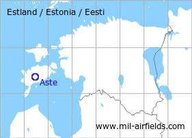
Aste is located on the island of Saaremaa in the west of Estonia. During the Cold War, there was a military auxiliary airfield north of the village. Today, the airfield is closed.
During the Cold War
Use
Reserve airfield?
Situation
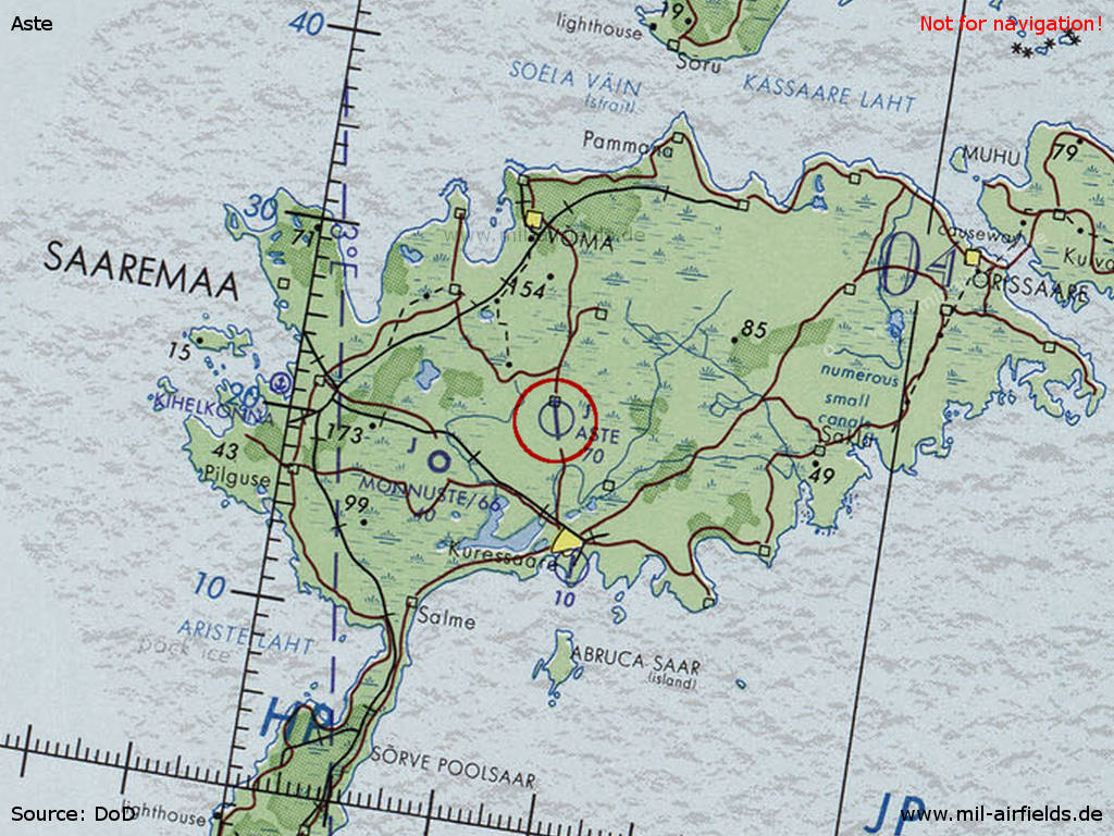
Aste Airfield on a map of the US Department of Defense from 1973 - (Source: ONC D-3 (1973), Perry-Castañeda Library Map Collection, University of Texas at Austin /PCL MC/)
Runways
- 17/35: ca. 2200 m Grass
Today
Use
Closed.
Airfields in the vicinity
- 240°/12km Monnuste: Airfield
- 270°/27km Kihelkonna: Seaplane Station (Papissare)
 Follow mil-airfields on Facebook