For historical information only, do not use for navigation or aviation purposes!
| Coordinates | N581129 E0255646 (WGS84) Google Maps |
| Elevation | 195 ft |
The history of the Cold War airfields: Obriku
General
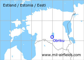
Obriku is located in the south of Estonia. During the Cold War, there was a military auxiliary airfield. Today, the airfield is closed.
During the Cold War
Use
Soviet reserve airfield.
Situation
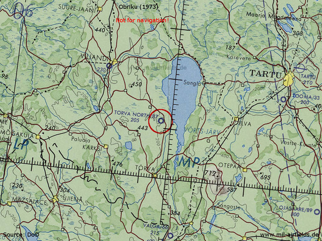
Obriku Airfield on a map of the US Department of Defense from 1973
Source: ONC D-3 (1973), Perry-Castañeda Library Map Collection, University of Texas at Austin /PCL MC/
Overview
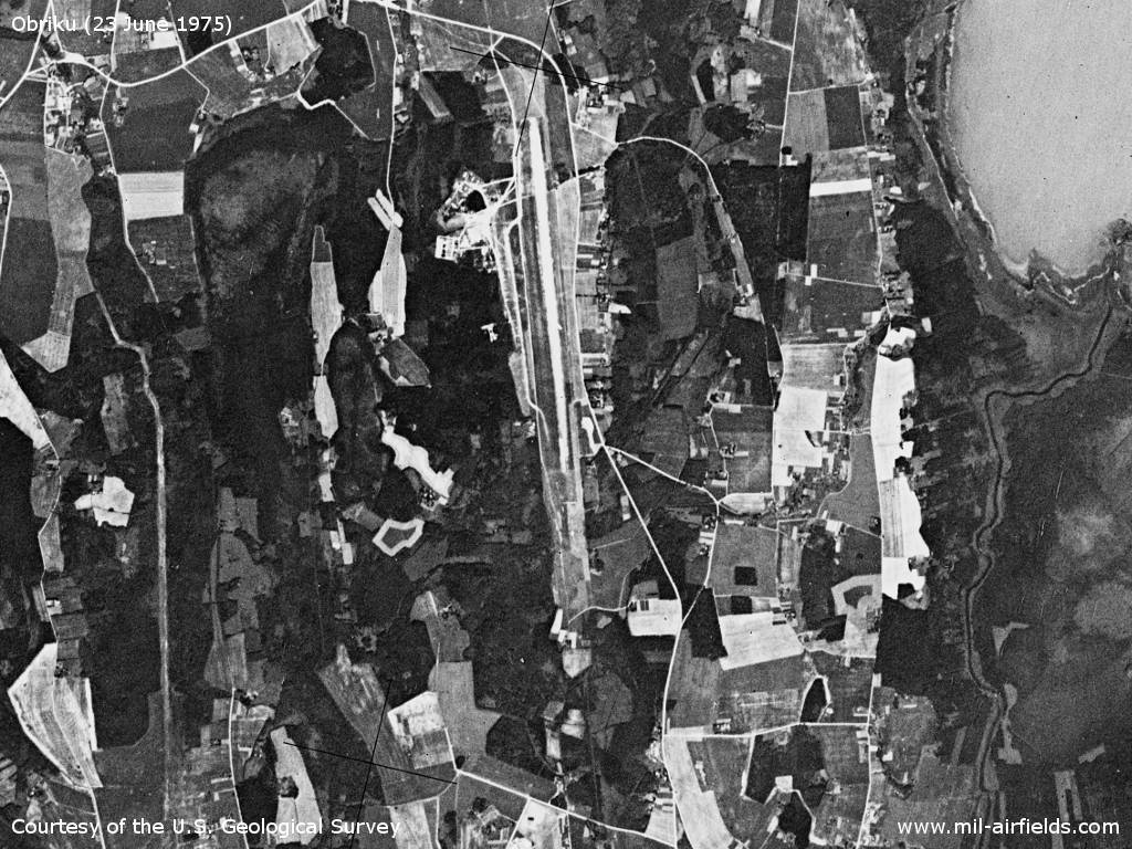
Obriku airfield on a US satellite image from June 1975 - Towards south, the path of the approach area is visible.
Source: U.S. Geological Survey
Runways
- 18/36: ca. 3000 m Grass
Sources
- https://www.usgs.gov/ - USGS: U.S. Geological Survey
Airfields in the vicinity
- 169°/42km Valga: Airfield
- 064°/54km Tartu: Air Base (Raadi, Аэродром Тарту)
- 338°/56km Võhma: Airfield
 Follow mil-airfields on Facebook