Brekendorf: Highway Strip
For historical information only, do not use for navigation or aviation purposes!
| Coordinates | N542614 E0093534 (WGS84) Google Maps |
| Elevation | 53 ft |
| Federal state | Schleswig-Holstein |
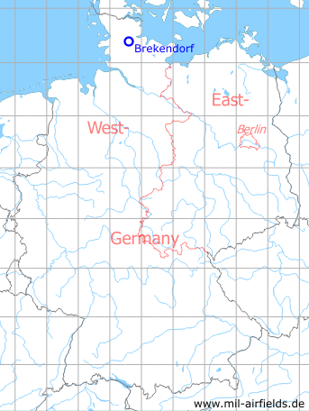
Germany during the Cold War Map
The history of the Cold War airfields: Brekendorf
Location of airfield
Autobahn A7, between intersections Owschlag and Schleswig/Jagel.
Usage during the Cold War
Prepared highway strip on Autobahn.
Use today
Closed.
Runways
- 16/34: 2000m
Airfields in the vicinity
- 297°/6km Schleswig: Air Base (Jagel, RAF Schleswigland)
- 194°/14km Hohn: Air Base (Rendsburg)