Trier: Euren Airfield
For historical information only, do not use for navigation or aviation purposes!
| Coordinates | N494325 E0063607 (WGS84) Google Maps |
| Elevation | 443 ft |
| Location indicator | EDRD (1971) |
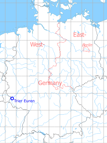
Germany during the Cold War
The history of the Cold War airfields: Trier Euren
Location of airfield
5 km southwest of Trier.
During the Cold War
Situation
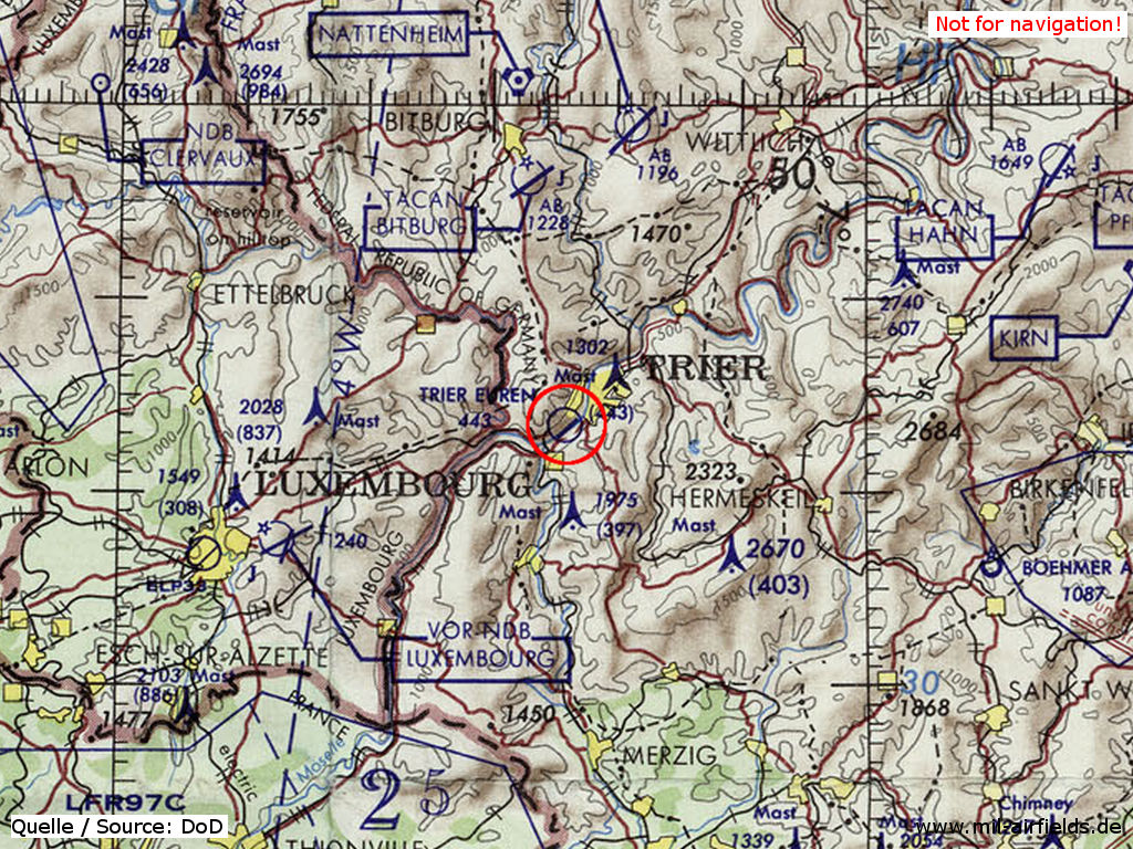
Trier Euren Airfield on a map of the US Department of Defense from 1972
Source: ONC E-2 (1972), Perry-Castañeda Library Map Collection, University of Texas at Austin
Overview
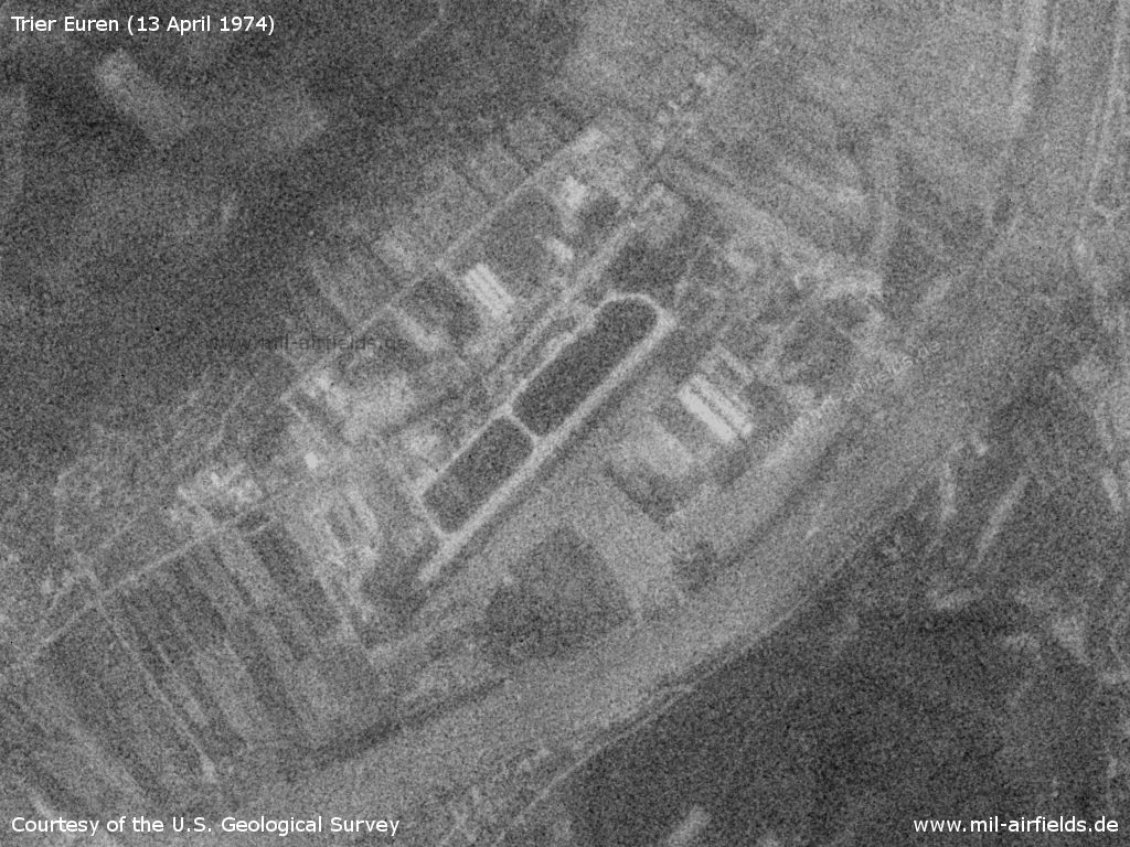
Trier Euren Airfield on a US satellite image from 13 April 1974
Source: U.S. Geological Survey
Runways
Data for the year 1971:
- 05/23: 1200 m x 40 m Concrete
Today
Use
Closed.
Overview
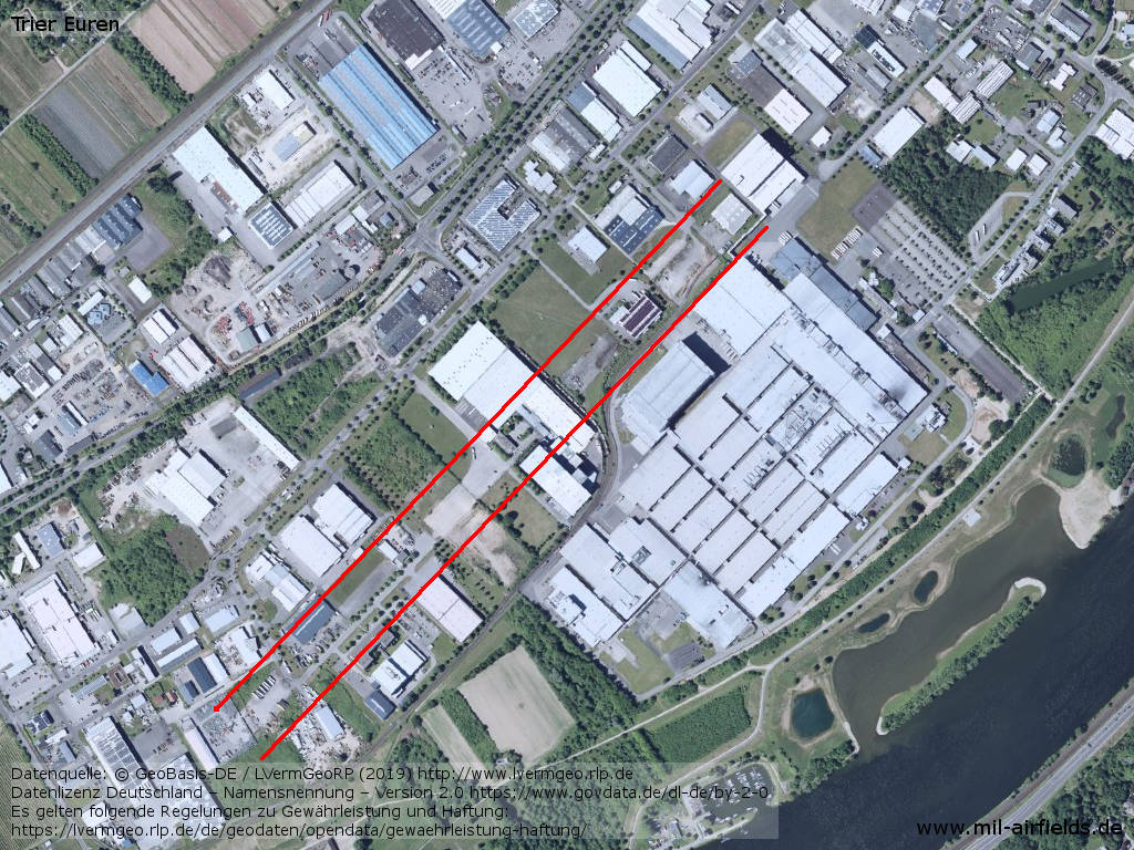
Aerial image - Some remains of the old runway are still visible (between the red lines).
Source: Datenquelle: © GeoBasis-DE / LVermGeoRP (2019),
Datenlizenz Deutschland – Namensnennung – Version 2.0 https://www.govdata.de/dl-de/by-2-0, http://www.lvermgeo.rlp.de
Airfields in the vicinity
- 040°/21km Trier: Föhren Airfield
- 353°/25km Bitburg: Air Base
- 014°/29km Spangdahlem: Air Base
Categories
Military Airfields GermanyMilitary Airfields in former West GermanyAirfields of the French Forces in GermanyRecommended
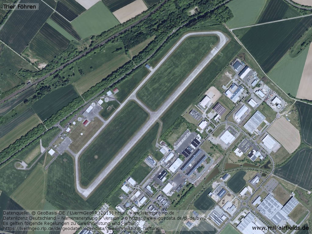
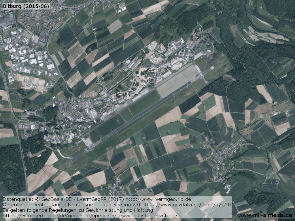
Image credits are shown on the respective target page, click on the preview to open it.
 Follow mil-airfields on Facebook