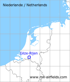
Gilze-Rijen: Air Base
For historical information only, do not use for navigation or aviation purposes!
| Coordinates | N513400 E0045624 (WGS84) Google Maps |
| Elevation | 49 ft |
| Location indicator | EHGR |
The history of the Cold War airfields: Gilze-Rijen
During the Cold War
Use
Royal Netherlands Air Force (Koninklijke Luchtmacht, KLu) base
In the 1950s
Situation
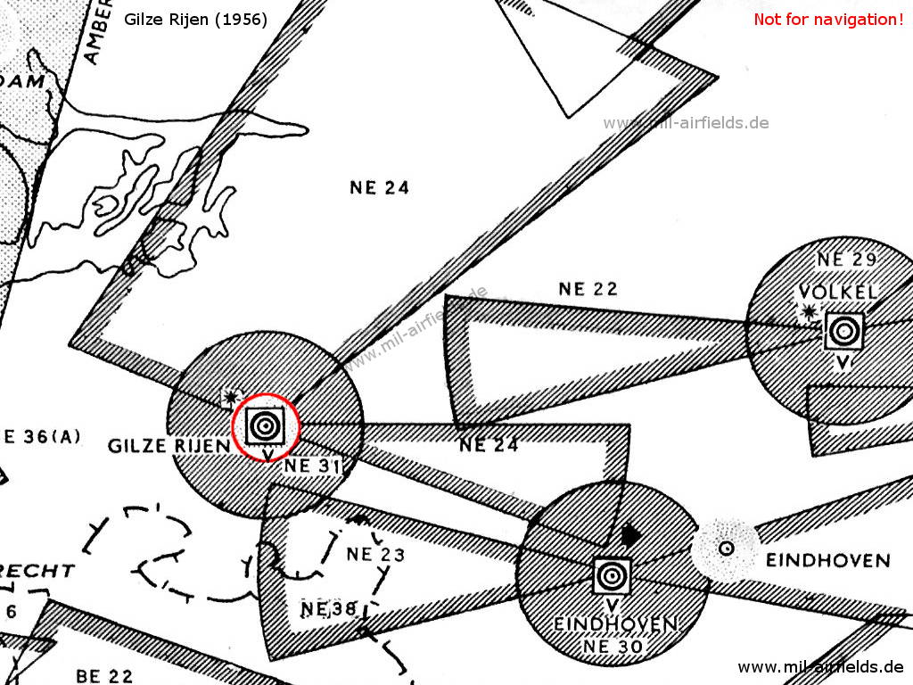
Gilze-Rijen Air Base and surrounding airways and restricted areas on a map 1956
Lights
Red identification beacon with ident "GR"
Radio beacons
- NDB: 320.5 "PEC"
Radar
GCA
Radio communication
- Homer 117.9, 103.32
- Tower 100.26, 103.32, 117.9, 121.5, 116.28, 111.42, 120.6, 108.0, 118.1, 116.1, 117.18, 119.7
In the 1970s
Situation
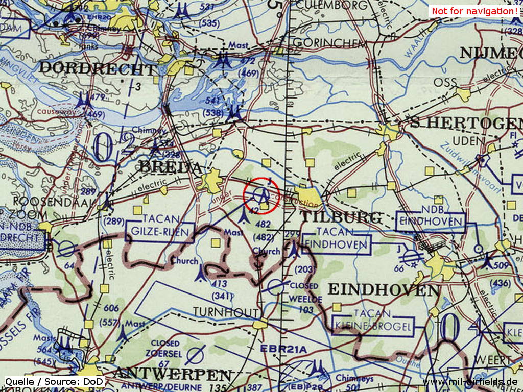
Gilze-Rijen Air Base on a map of the US Department of Defense from 1972
Source: ONC E-2 (1972), Perry-Castañeda Library Map Collection, University of Texas at Austin
In the 1980s and early 1990s
Runways
Data for the year 1990:
- 10/28: 2779 m x 45 m Asphalt
- 02/20: 1996 m x 30 m Asphalt
Radio beacons
Data for the year 1990:
- TACAN: CH111 "GZR", at field
Sources
- https://legacy.lib.utexas.edu/maps/ - Perry-Castañeda Library Map Collection
Airfields in the vicinity
- 176°/19km Weelde: Airfield
 Follow mil-airfields on Facebook