For historical information only, do not use for navigation or aviation purposes!
| Coordinates | N521821 E0135249 (WGS84) Google Maps |
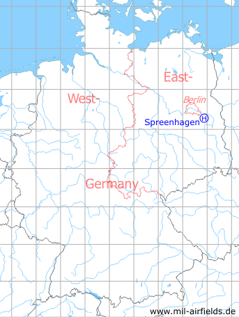
Germany during the Cold War Map
The history of the Cold War airfields: Spreenhagen
Location of airfield
4 km south of Spreenhagen, 2 km north of Alt Stahnsdorf.
Usage during the Cold War
Helipad 1013 for 2nd Signals Brigade (2. Nachrichtenbrigade, 2. NBr) of former East German Ministry of National Defense (MfNV).
Use today
Closed.
Overview
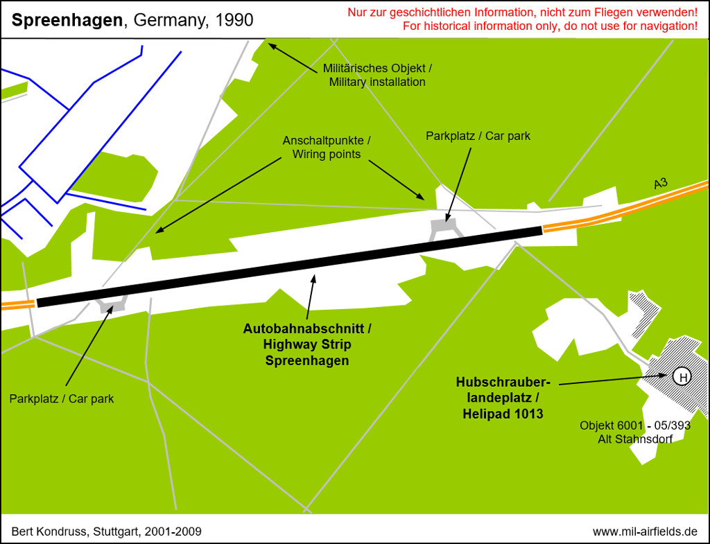
Runways, taxiways, aprons
Dimensions: 45 m x 100 m,
Main takeoff and landing direction: 315°,
Surface: Grass,
Capacity: 1 helicopter.
Main takeoff and landing direction: 315°,
Surface: Grass,
Capacity: 1 helicopter.
Airspace and procedures
Usable at day and night during good weather conditions.
Alert time: 30 minutes.
Alert time: 30 minutes.
Obstacles
Buildings, trees, smoke stack: direction 0°-360°, distance 70 m, height 30 m
Bibliography
- Bergner, Paul: "Atombunker im Kalten Krieg und das PROGRAMM DELPHIN" Heinrich-Jung-Verlagsgesellschaft mbH, Zella-Mehlis/Meiningen, 2007 - History of the object Alt Stahnsdorf
Airfields in the vicinity
- 288°/2km Spreenhagen: Highway Strip (Autobahnabschnitt ABA, Friedrichshof)
- 077°/6km Markgrafpieske: SA-2 Missile Site (Helipad 3110)
- 149°/9km Storkow: Helipad 1027 (HSLP 1027)
- 120°/11km Reichenwalde: Helipad 3120 (HSLP 3120)
- 078°/13km Fürstenwalde: Helipad 3002 (HSLP / HLP 3002)
- 286°/15km Niederlehme: Helipads 1011, 3041
- 165°/16km Kehrigk: Helipad 3071 (HSLP / HLP 3071)
- 057°/17km Fürstenwalde: Airfield
- 306°/17km Berlin: Müggelheim Agricultural Airfield
- 108°/18km Wilmersdorf: Helipad 3023 (HSLP / HLP 3023)
- 150°/19km Limsdorf: Helipad 3011 (HSLP 3011)
- 213°/21km Kleinköris / Löpten: Airfield (Löpten, Klein Köris)
 Follow mil-airfields on Facebook