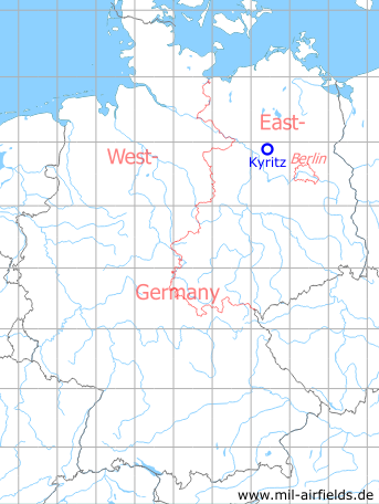
Kyritz Heinrichsfelde Agricultural Airfield
Historical approach and aerodrome charts East Germany
For historical information only, do not use for navigation or aviation purposes!
| Coordinates | N525506 E0122533 (WGS84) Google Maps |
| Former East Germany (GDR) | District of Potsdam |
| Federal state | Brandenburg |
| Region | Prignitz, Landkreis Ostprignitz-Ruppin |
| Location indicator | ETKZ, EDBK |
User: Interflug Agrarflug (Agricultural aviation), Gesellschaft für Sport und Technik GST
In the 1960s
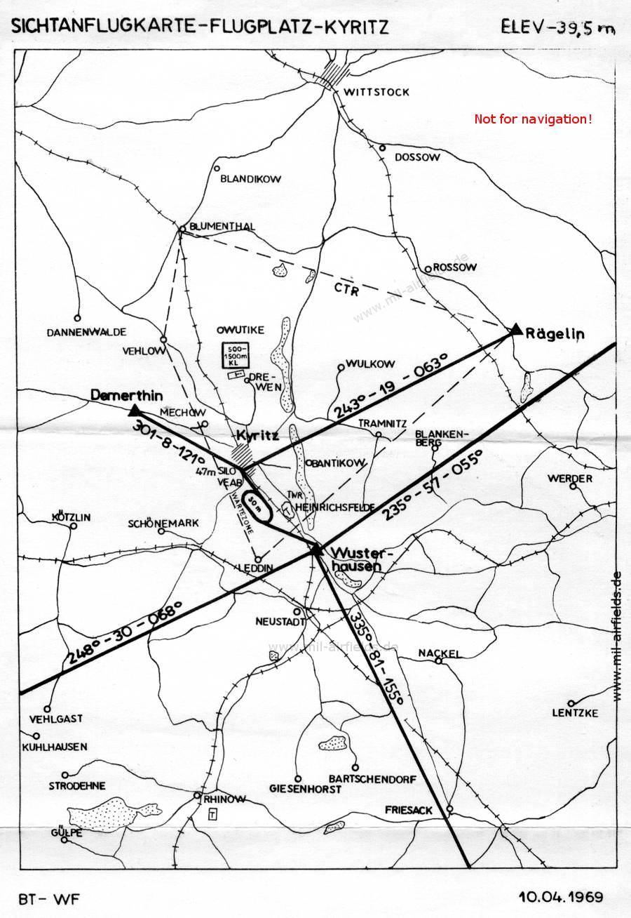
Visual approach chart (April 1969) (Source: Interflug / Wirtschaftsflug)
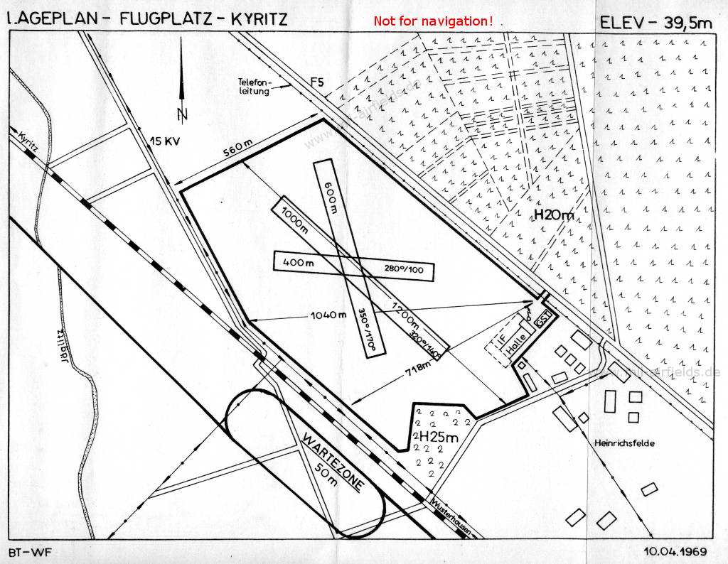
Airfield map (April 1969) (Source: Interflug / Wirtschaftsflug)
In the 1980s
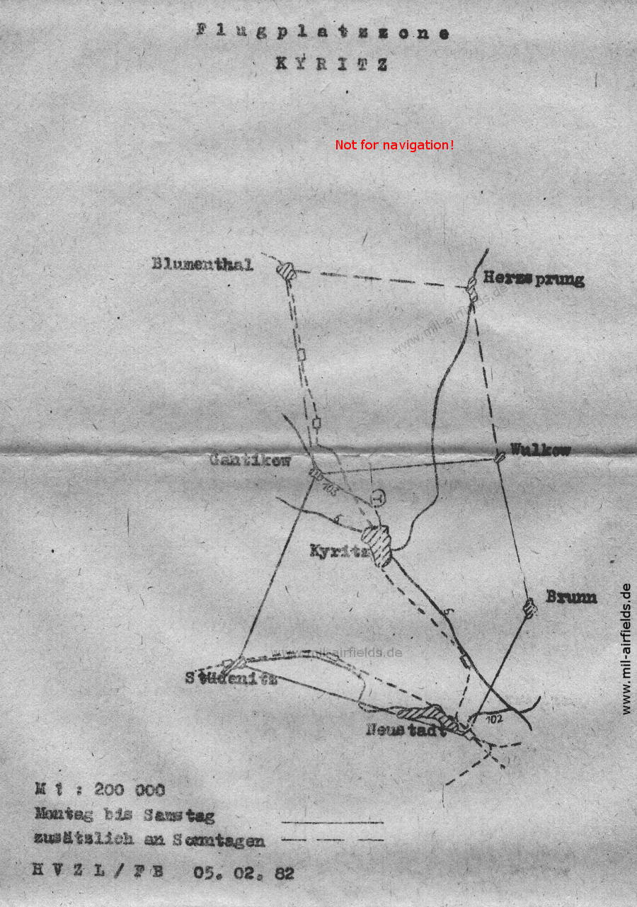
Aerodrome zone (February 1982) (Source: Hauptverwaltung Zivile Luftfahrt / Flugbetrieb HVZL / FB)
Recommended

Image credits are shown on the respective target page, click on the preview to open it.
 mil-airfields.de at Facebook