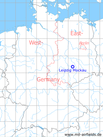
Leipzig Mockau Airport
Flughafen Mockau
Historical approach and aerodrome charts East Germany
For historical information only, do not use for navigation or aviation purposes!
| Coordinates | N512339 E0122426 (WGS84) Google Maps |
| Elevation | 430 ft |
| Former East Germany (GDR) | District of Leipzig |
| Federal state | Sachsen (Saxony) |
| Location indicator | EDXL (196x), ETLM (198x) |
In the 1960s
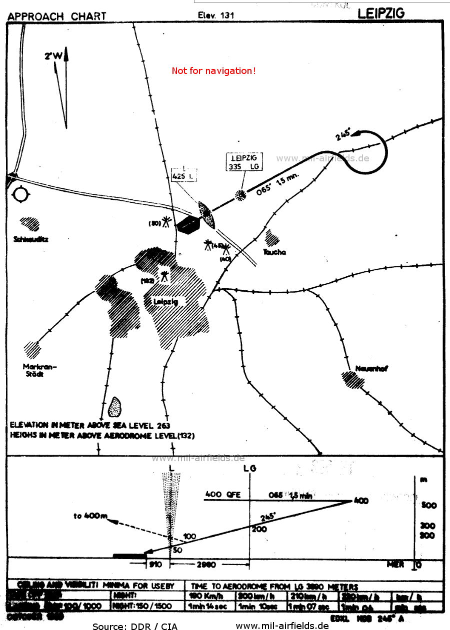
Standard NDB approach runway 25 (October 1960) - The approach led over the two non-directional radio beacons "LG" and "L". At "L" there was also a marker beacon. (Source: GDR / CIA)
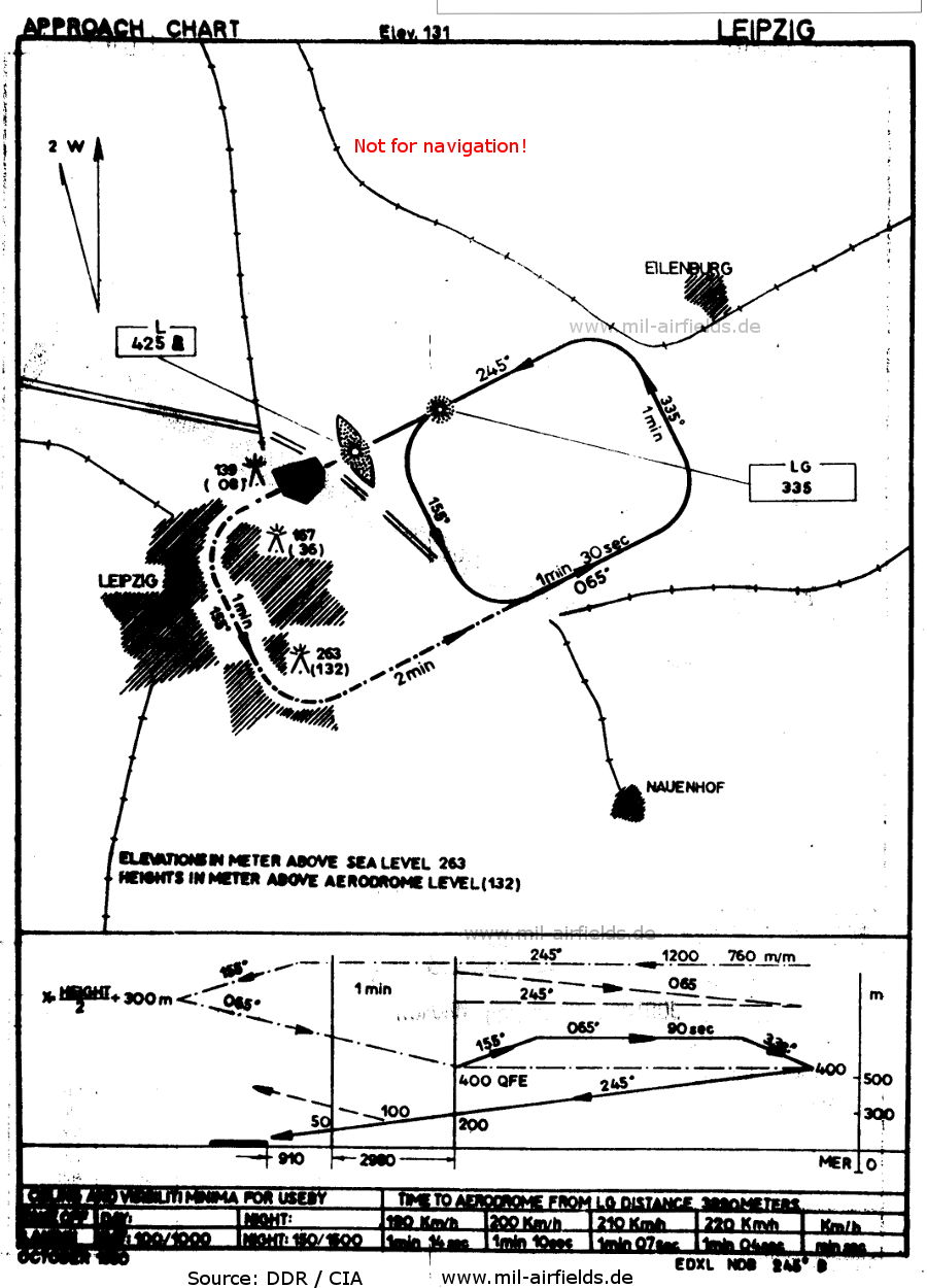
NDB approach runway 25 with "small box" (October 1960) (Source: GDR / CIA)
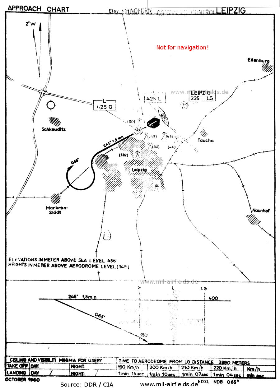
NDB approach runway 07 (October 1960) - Leipzig-Schkeuditz Airport is marked on the left. (Source: GDR / CIA)
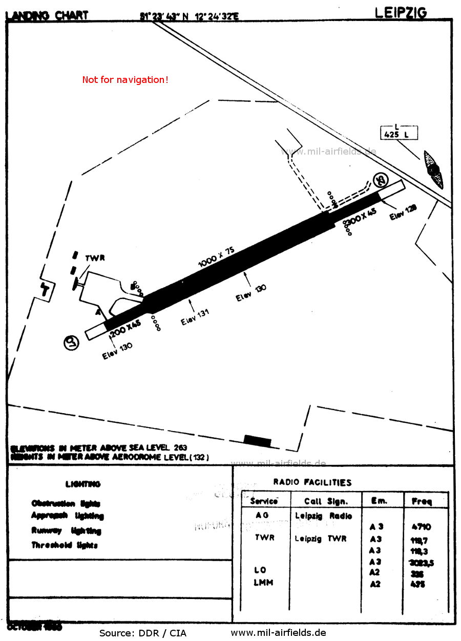
Airport chart (October 1960) - The runway had sections of varying widths. The autobahn in the northeast later prevented the expansion of the field in this direction. (Source: GDR / CIA)
Recommended
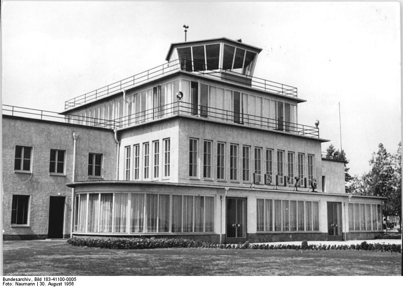

Image credits are shown on the respective target page, click on the preview to open it.
 mil-airfields.de at Facebook