Turku Airport
Turun lentoasema
Historical approach and aerodrome charts
Turun lentoasema - - Ilmailukartat
For historical information only, do not use for navigation or aviation purposes!
| Coordinates | N603051 E0221545 (WGS84) Google Maps |
| Elevation | 161 ft |
| Location indicator | EFTU |
Airfield
Region: Southwest Finland, Varsinais-Suomi, Aurajoki, Baltic Sea
Location indicator: EFTU
In the 1960s
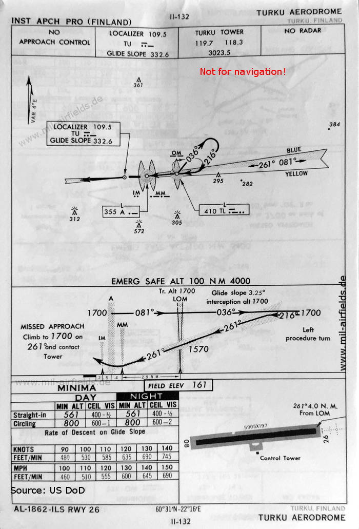
ILS approach runway 26 (December 1960) - There is one runway - 08/26: length 1800 m, width 60 m (5905 feet x 197 feet). (Source: US DoD)
Index to the objects shown on the maps
Radio beacons / Radiomajakat:
- Turku NDB/Locator "TL", "A", ILS "TU", Outer Marker, Middle Marker, Inner Marker
Air traffic control / Lennonjohto:
- Turku Tower
Source for all maps, if not marked otherwise: US Department of Defense (US DoD)
Recommended
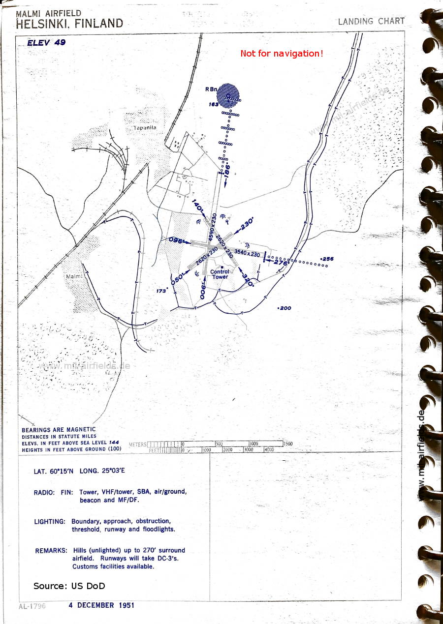
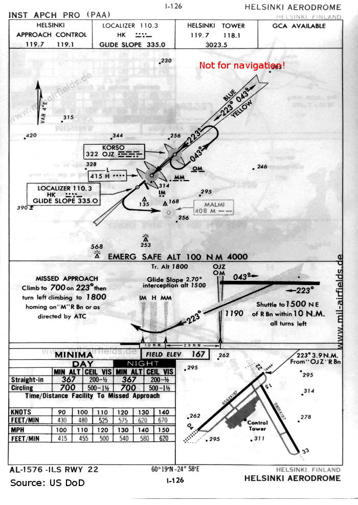


Image credits are shown on the respective target page, click on the preview to open it.
 mil-airfields.de at Facebook