Grostenquin Air Base / RCAF Station Grostenquin (Gros Tenquin)
Historical approach and aerodrome charts
Base aérienne Grostenquin - Cartes d'approche historiques
For historical information only, do not use for navigation or aviation purposes!
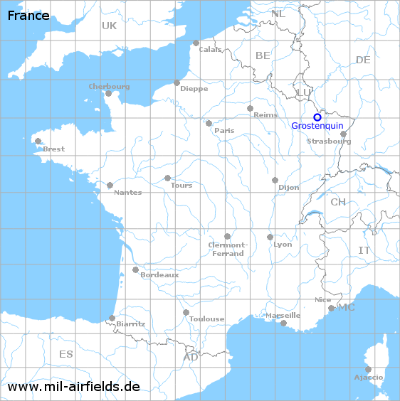
| Coordinates | N490119 E0064304 (WGS84) Google Maps |
| Region | Grand Est, Département Moselle |
| Location indicator | LFQG |
Use
- 1952-1964: NATO base of the Royal Canadian Air Force (RCAF)
- Today Polygon of the French armed forces for electronic warfare
In the 1960s
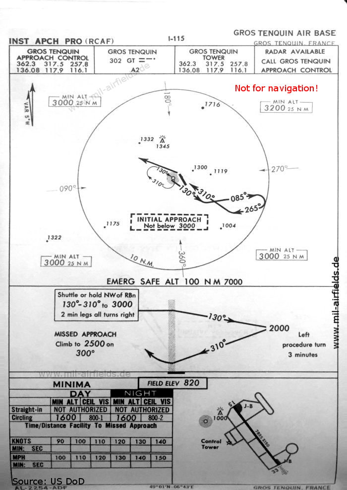
NDB approach runway 33 (October 1960) - There is one runway - 15/33: length 2406 m, width 46 m (7895 feet x 150 feet). (Source: US DoD)
In the 1970s
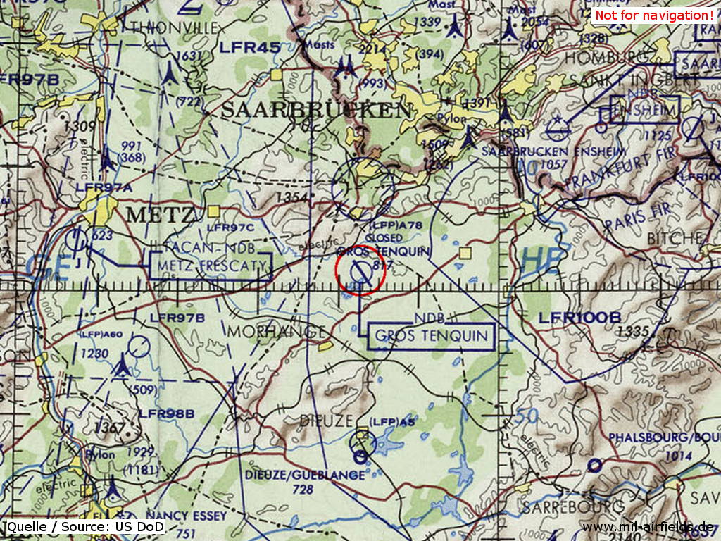
Grostenquin Air Base / RCAF Station Grostenquin on a map of the US Department of Defense from 1972 - The field is shown as closed. (Source: ONC E-2 (1972), Perry-Castañeda Library Map Collection, University of Texas at Austin)
Index to the objects shown on the maps
Radio beacons / Radiophares aéronautiques:
- Gros Trequin NDB "GT"
Air traffic control / Contrôle de la circulation aérienne:
- Gros Trequin Approach Control, Gros Trequin Tower
Source for all maps, if not marked otherwise: US Department of Defense (US DoD)
 mil-airfields.de at Facebook