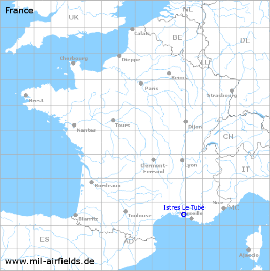
Istres Le Tubé Air Base
Base aérienne 125 Istres-Le Tubé (B.A. 125)
Historical approach and aerodrome charts
Cartes d'approche / d'atterrissage historiques
For historical information only, do not use for navigation or aviation purposes!
| Coordinates | N433132 E0045520 (WGS84) Google Maps |
| Location indicator | LFMI |
In the 1950s
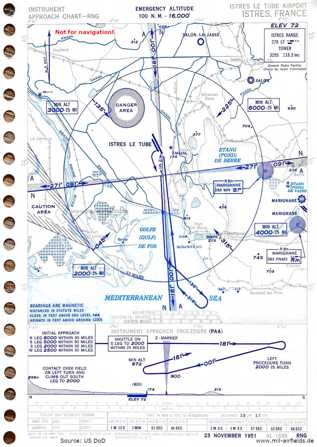
Range approach (November 1951) (Source: US DoD)
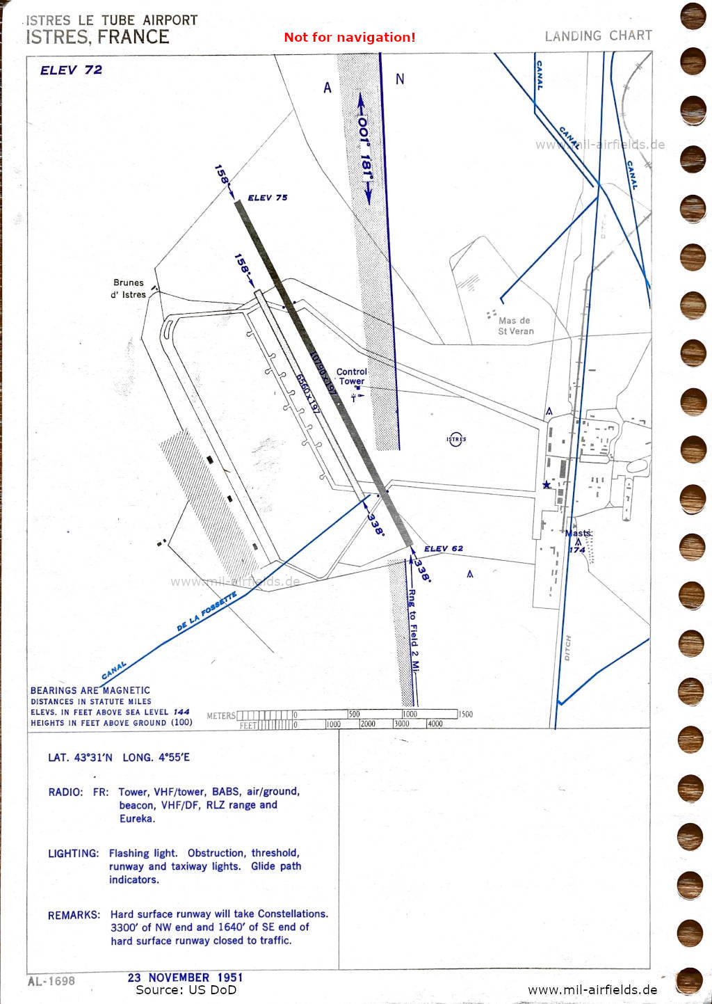
Airfield map (November 1951) - There are two runways - 158/338: length 3289 m, width 60 m (10790 feet x 197 feet) paved, 158/338: length 1999 m, width 60 m (6560 feet x 197 feet) unpaved. (Source: US DoD)
Index to the objects shown on the maps
Aerodromes / Aérodromes:
- Etang (Pond) de Vaine Seaplane Base, Istres Le Tubé, Salon, Salon-la-Jasse, Marseille Marignane, Marseille Marignane Seaplane Base
Airspace / Espace aérien:
- Caution area, Danger area
Radio beacons / Radiophares aéronautiques:
- Istres Range "LT", Eureka, BABS
- Marignane NDB "MN", "FNM5"
Air traffic control / Contrôle de la circulation aérienne:
- Istres Tower
Places:
Source for all maps, if not marked otherwise: US Department of Defense (US DoD)
Recommended
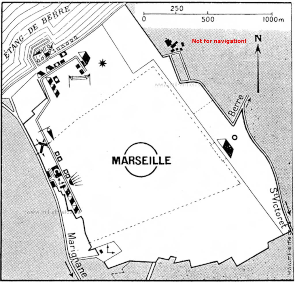


Image credits are shown on the respective target page, click on the preview to open it.
 mil-airfields.de at Facebook