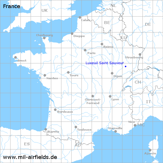
Luxeuil Saint Sauveur Air Base
Historical approach and aerodrome charts
Base aérienne 116 Luxeuil-Saint Sauveur (B.A. 116) - Cartes d'approche historiques
For historical information only, do not use for navigation or aviation purposes!
| Coordinates | N474708 E0062122 (WGS84) Google Maps |
| Region | Luxeuil-les-Bains, Département Haute-Saône |
| Location indicator | LFSX |
| Operator | Armée de l’air |
In the 1960s
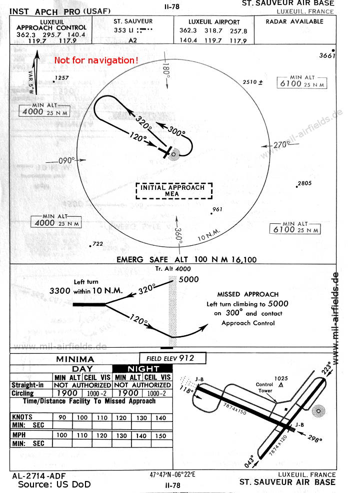
NDB approach runway 12 (October 1960) - There are two runways - 118/298: length 2400 m, width 46 m (7874 feet x 150 feet), 043/223: length 2400 m, width 37 m (7874 feet x 120 feet). (Source: US DoD)
In the 1980s
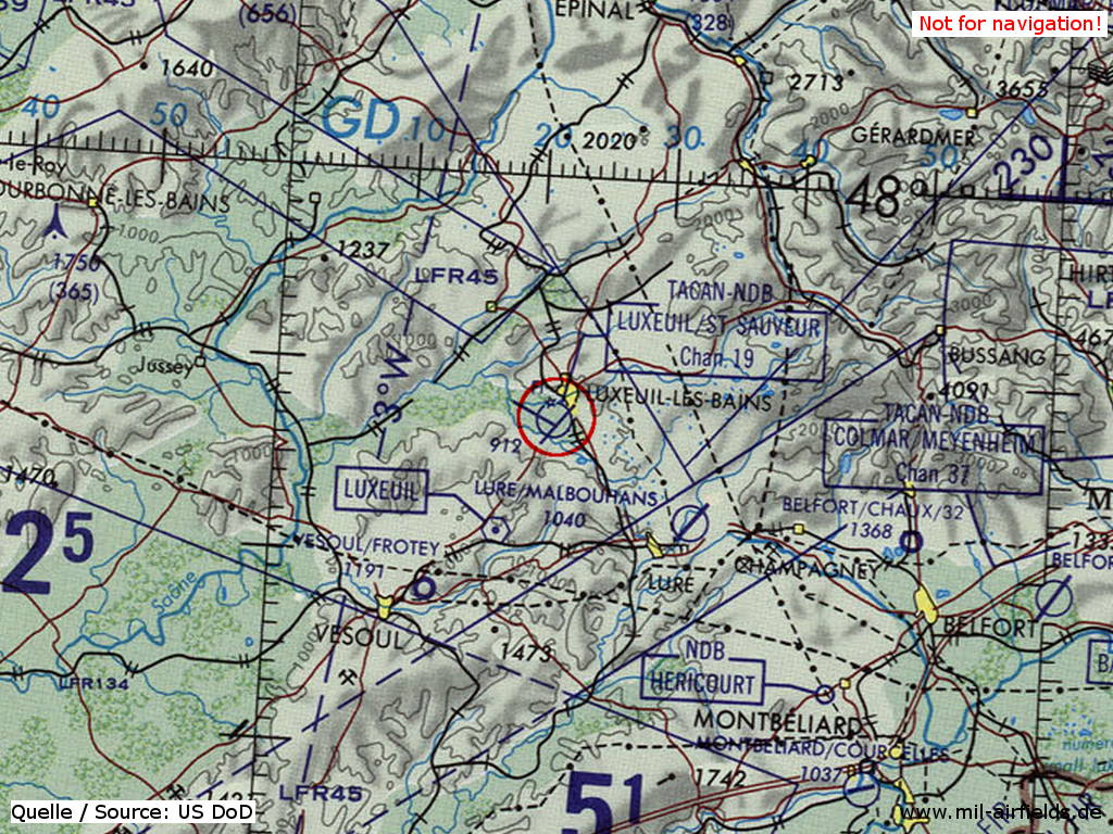
Luxeuil Saint Sauveur Air Base on a map of the US Department of Defense from 1981 (Source: ONC F-2 (1981), Perry-Castañeda Library Map Collection, University of Texas at Austin)
Index to the objects shown on the maps
Radio beacons / Radiophares aéronautiques:
- St. Sauveur NDB "LI"
Air traffic control / Contrôle de la circulation aérienne:
- Luxeuil Approach Control, Luxeuil Airport
Source for all maps, if not marked otherwise: US Department of Defense (US DoD)
Recommended
Image credits are shown on the respective target page, click on the preview to open it.
 mil-airfields.de at Facebook