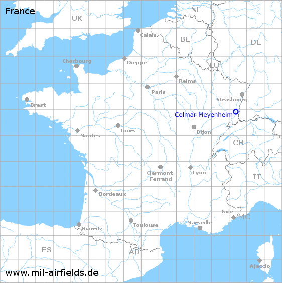
Colmar Meyenheim Air Base
Historical approach and aerodrome charts
Base aérienne 132 Colmar-Meyenheim (B.A. 132) - Cartes d'approche historiques
For historical information only, do not use for navigation or aviation purposes!
| Coordinates | N475521 E0072359 (WGS84) Google Maps |
| Region | Grand Est, Département Haut-Rhin |
| Location indicator | LFSC |
Use
- 1951/1952: Construction of the air base
- Airfield of the French Air Force (Armée de l’air)
- 2010: The airfield is closed
- Sine 2010 used by the French Army
In the 1960s
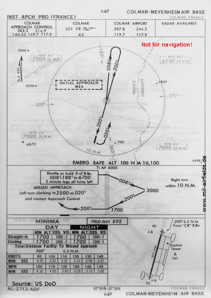
NDB approach runway 20 (October 1960) - There is one runway - 02/20: length 2400 m, width 46 m (7874 feet x 150 feet). (Source: US DoD)
In the 1970s
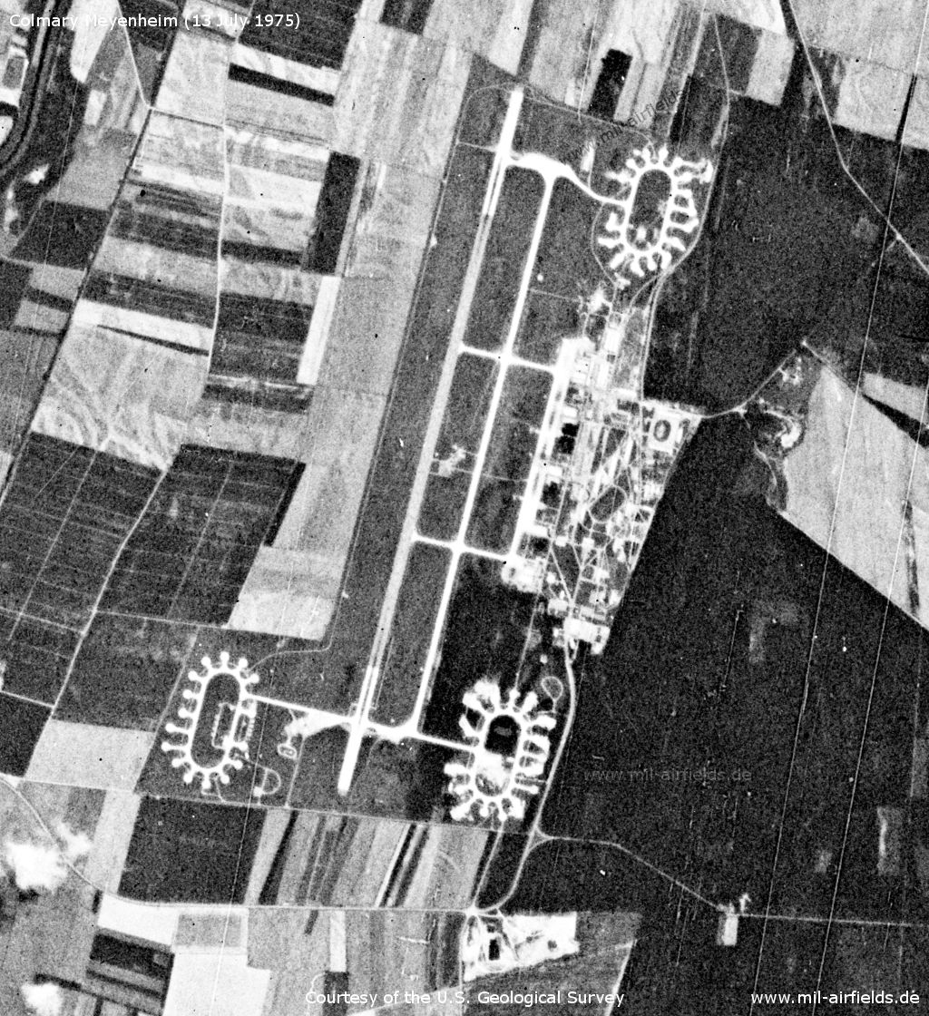
Satellite image from 13 July 1975 (Source: U.S. Geological Survey)
In the 1980s
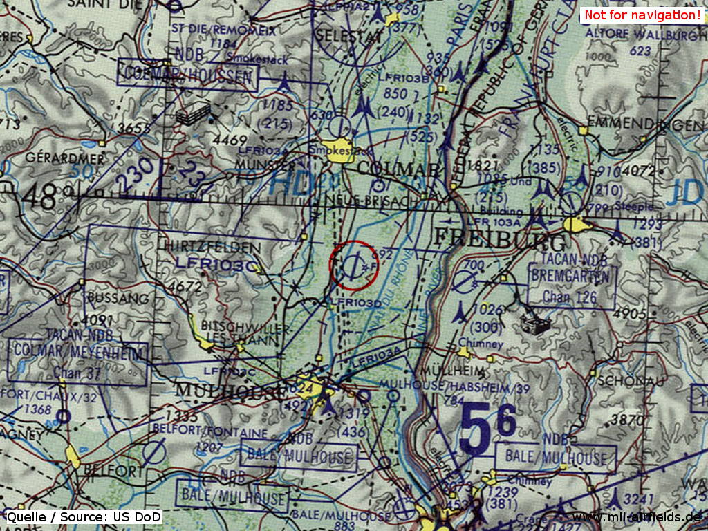
Colmar Meyenheim Air Base on a map of the US Department of Defense from 1981 (Source: ONC F-2 (1981), Perry-Castañeda Library Map Collection, University of Texas at Austin)
Index to the objects shown on the maps
Radio beacons / Radiophares aéronautiques:
- Colmar NDB "CR"
Air traffic control / Contrôle de la circulation aérienne:
- Colmar Approach Control, Colmar Airport
Source for all maps, if not marked otherwise: US Department of Defense (US DoD)
Recommended
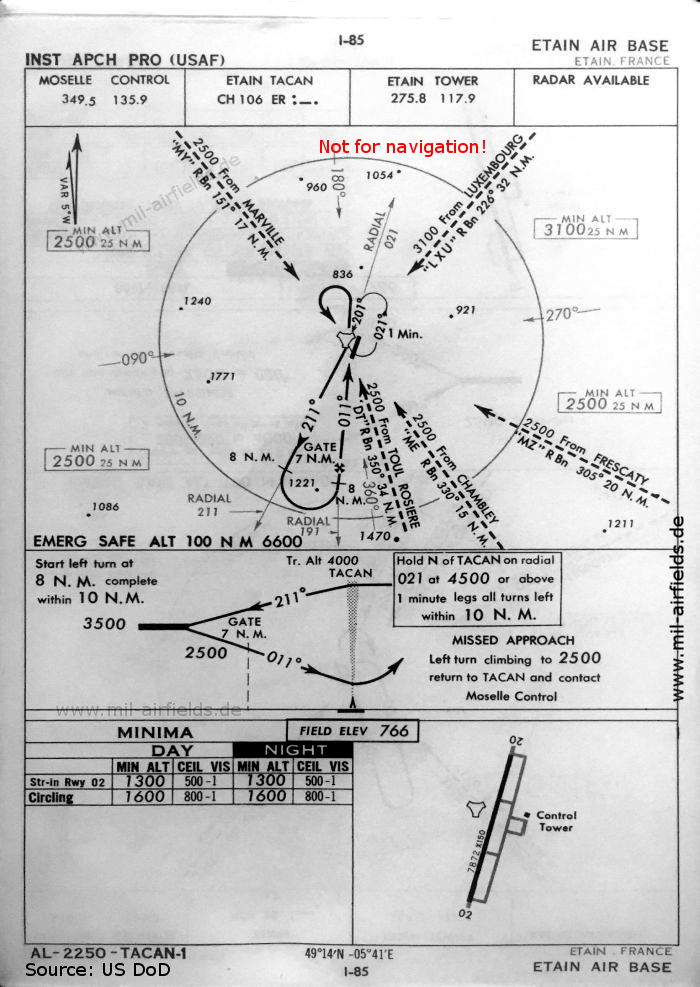
Image credits are shown on the respective target page, click on the preview to open it.
 mil-airfields.de at Facebook