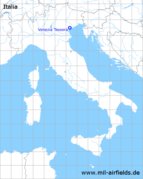
Venice Tessera Airport
Historical approach and aerodrome charts
Aeroporto di Venezia-Tessera “Marco Polo”: Carte di avvicinamento
For historical information only, do not use for navigation or aviation purposes!
| Coordinates | N453016 E0122104 (WGS84) Google Maps |
| Region | Regione del Veneto / Venetia, Venetian Lagoon / Laguna di Venezia, Tessèra |
| Location indicator | LIPZ |
In the 1960s
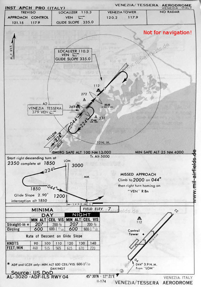
ILS approach runway 04 (May 1966) (Source: US DoD)
Index to the objects shown on the maps
Radio beacons with identifier / Radiofaro:
- Venezia Tessera NDB "VEN", ILS "VEN", Outer Marker, Middle Marker
Air traffic control / Controllo del traffico aereo / Communications:
- Treviso Approach Control, Venezia Tower
Source for all maps, if not marked otherwise: US Department of Defense (US DoD)
Recommended


Image credits are shown on the respective target page, click on the preview to open it.
 mil-airfields.de at Facebook