Soesterberg Air Base / Vliegbasis "Camp New Amsterdam"
Vliegbasis Soesterberg, Camp New Amsterdam
Historical approach charts - Netherlands
For historical information only, do not use for navigation or aviation purposes!
| Coordinates | N520738 E0051633 (WGS84) Google Maps |
| Elevation | 66 ft |
| Region | Utrecht |
| Location indicator | EHSB |
Source for all maps, if not marked otherwise: US Department of Defence (DoD)
In the 1960s
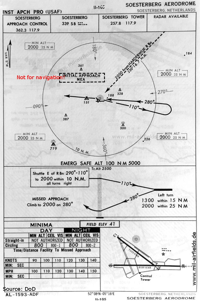
NDB approach runway 28 (October 1960) (Source: DoD)
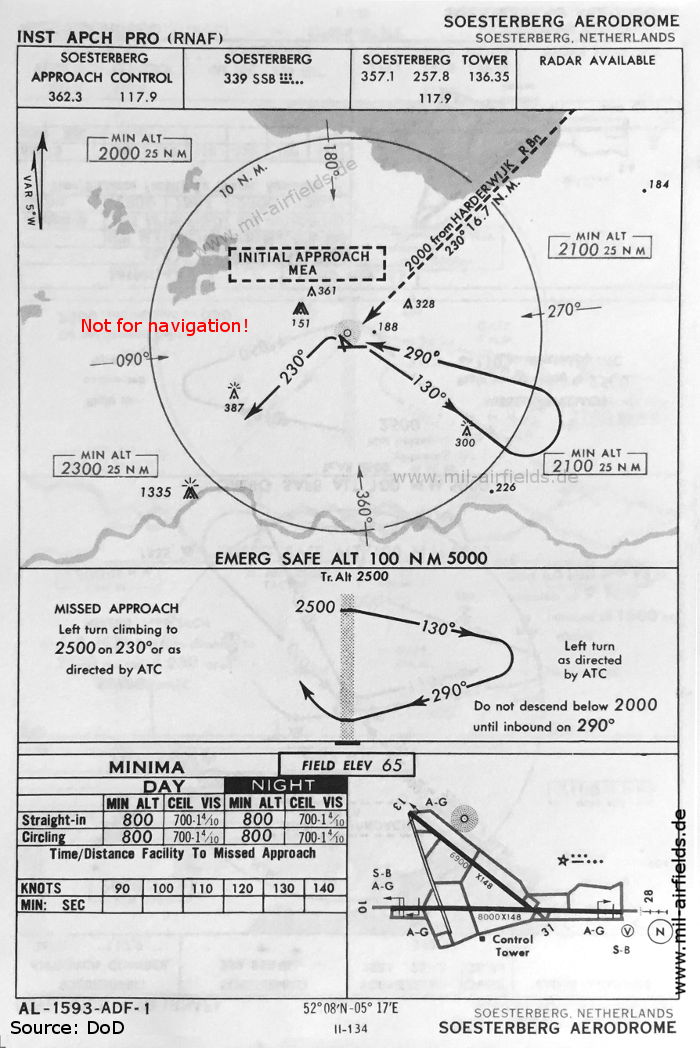
NDB approach runway 28 (May 1966) (Source: DoD)
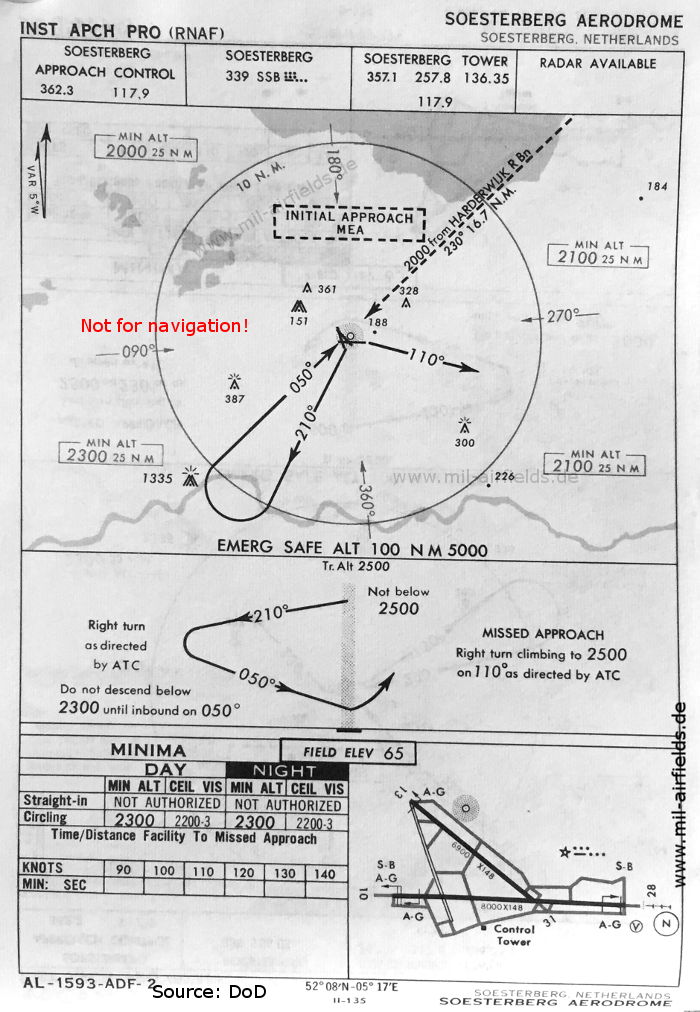
NDB approach from the southwest (May 1966) (Source: DoD)
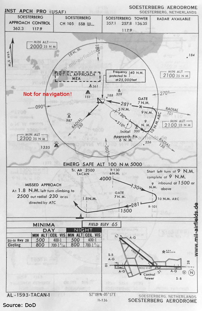
TACAN approach runway 28 (May 1966) (Source: DoD)
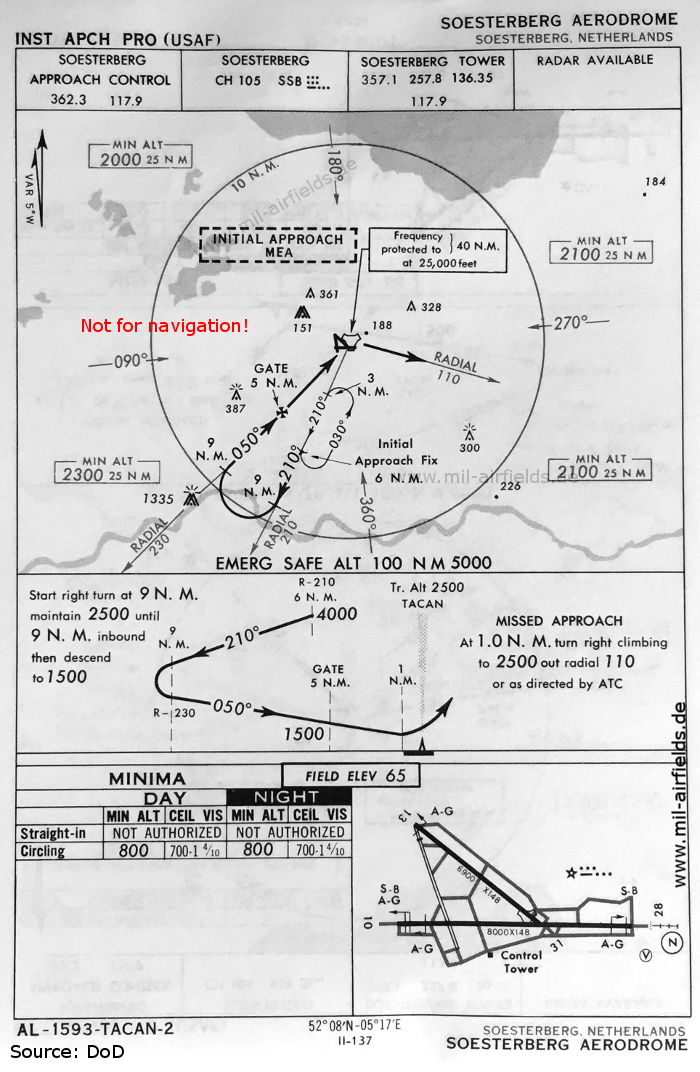
TACAN approach from the southwest (May 1966) (Source: DoD)
TACAN approach runway 10 (May 1966) (Source: DoD)
Recommended
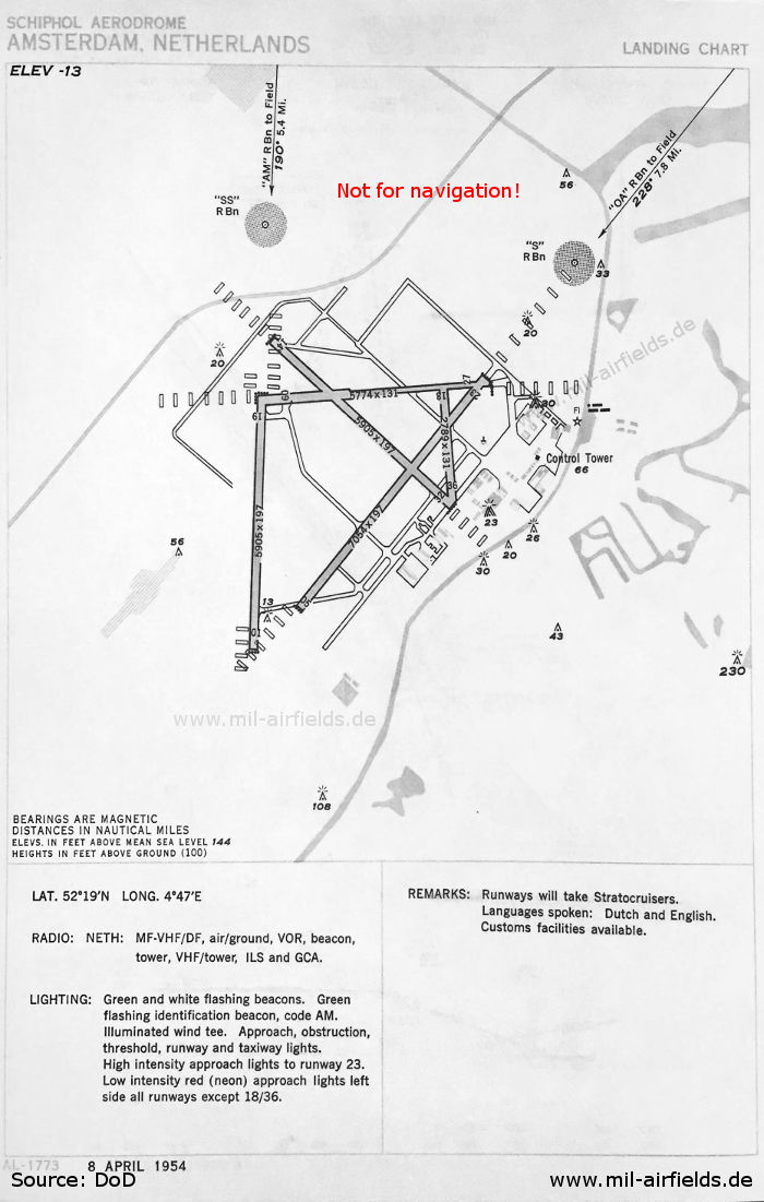
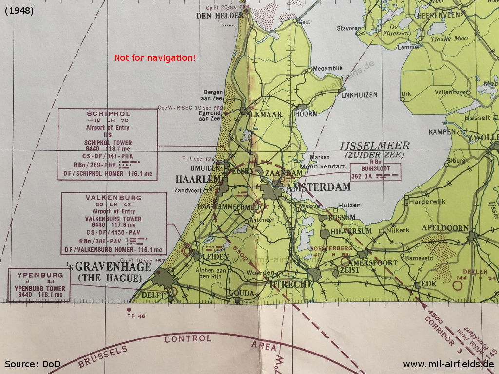
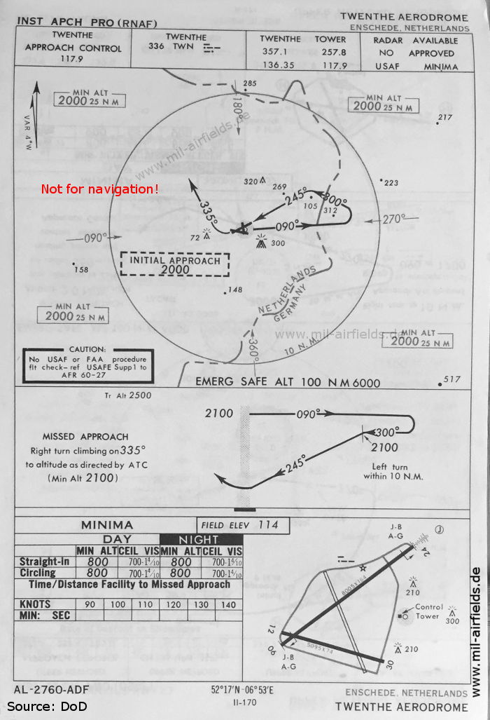

Image credits are shown on the respective target page, click on the preview to open it.