Santana Airfield, Azores
Aeródromo de Santana
Historical approach and aerodrome charts
Aeródromo Militar de Santana, Açores - Cartas de aproximação históricos
For historical information only, do not use for navigation or aviation purposes!
| Coordinates | N374835 W0253318 (WGS84) Google Maps |
Santana was a small airfield near Ribeira Seca / Ribeira Grande on the island of São Miguel. Today the airfield is closed, the area houses a naval transmitting station (LTX Santana).
In the 1960s
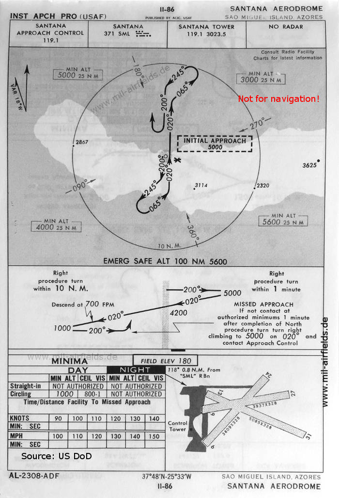
NDB approach (October 1960)
There are three runways: 06/24 with 1100 m x 100 m (3609 feet x 328 feet), 09/27 with 1200 m x 100 m (3937 feet x 328 feet), 13/31 with 1550 m x 100 m (5085 feet x 328 feet).
(Source: US DoD)
There are three runways: 06/24 with 1100 m x 100 m (3609 feet x 328 feet), 09/27 with 1200 m x 100 m (3937 feet x 328 feet), 13/31 with 1550 m x 100 m (5085 feet x 328 feet).
(Source: US DoD)
Source for all maps, if not marked otherwise: US Department of Defense (US DoD)
Index to the objects shown on the maps
Aerodromes / Aeródromos:
- Santana
Radio beacons / Radiofarol:
- Santana NDB "SML"
Air traffic control / Controlo do Tráfego Aéreo:
- Santana Approach Control, Santana Tower
Recommended
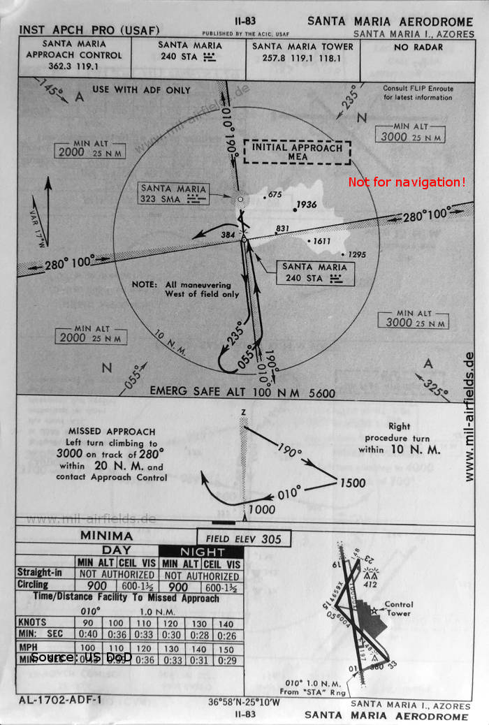
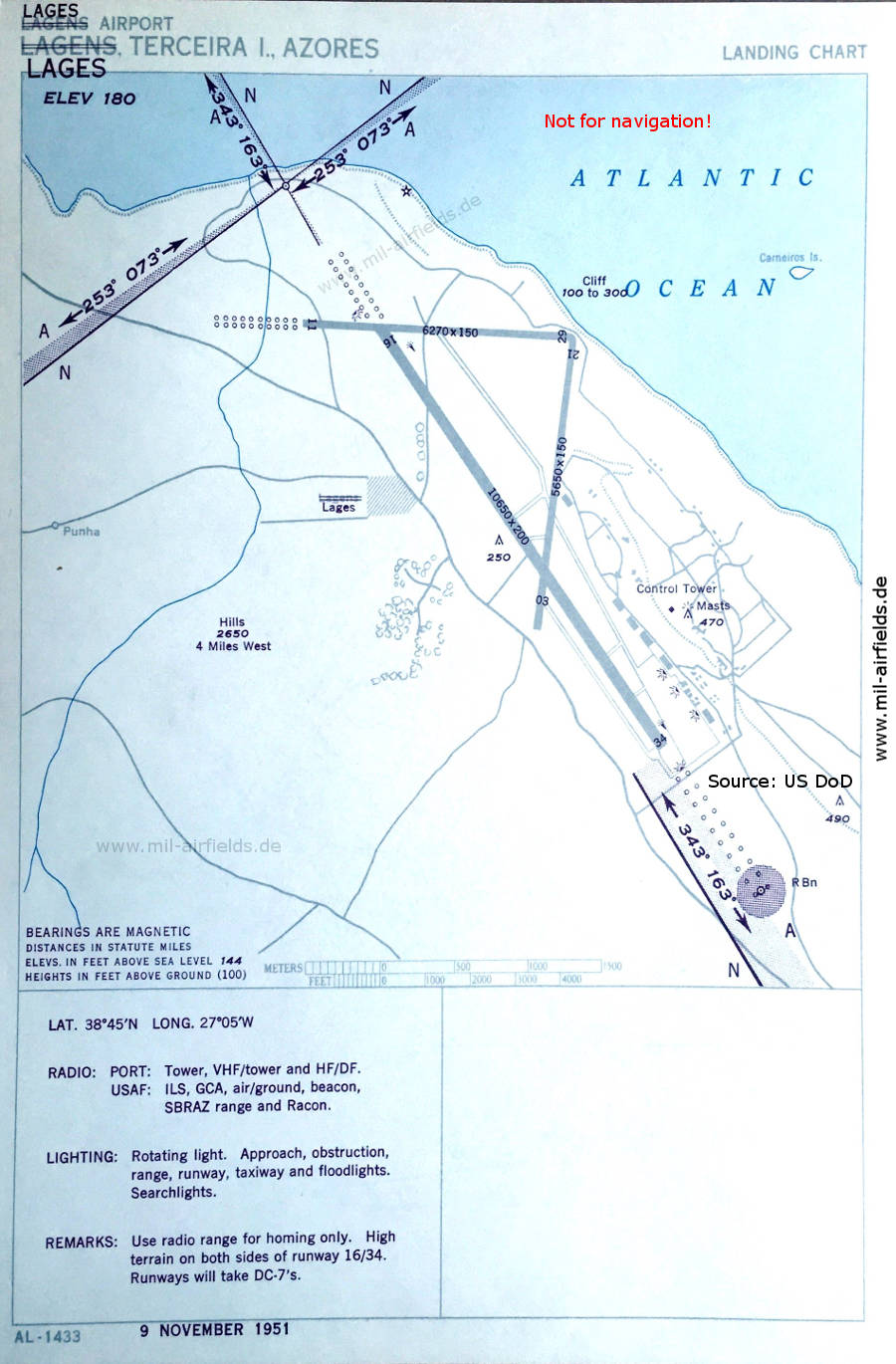
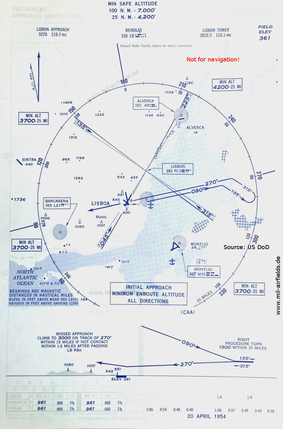
Image credits are shown on the respective target page, click on the preview to open it.
 mil-airfields.de at Facebook