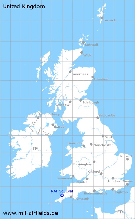
RAF St. Eval
RAF St. Eval
Historical approach and aerodrome charts / Airfield history
For historical information only, do not use for navigation or aviation purposes!
| Coordinates | N502843 W0045959 (WGS84) Google Maps |
| Location indicator | MDXE |
| Operator | Royal Air Force (RAF) |
In the 1950s
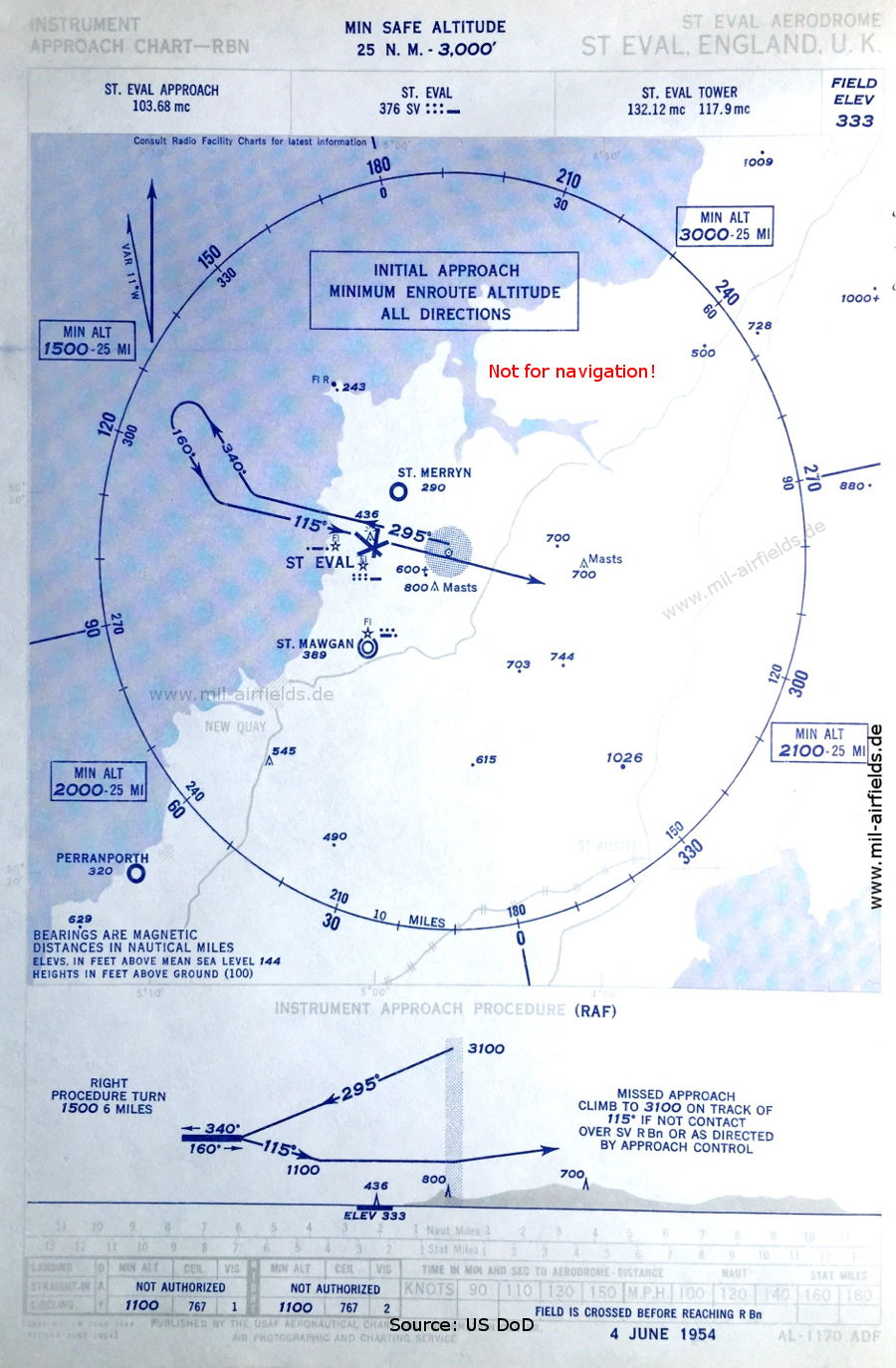
NDB approach (June 1954) - Airfields in the vicinity: Perranporth, St. Mawgan, St. Merryn (Source: US DoD)
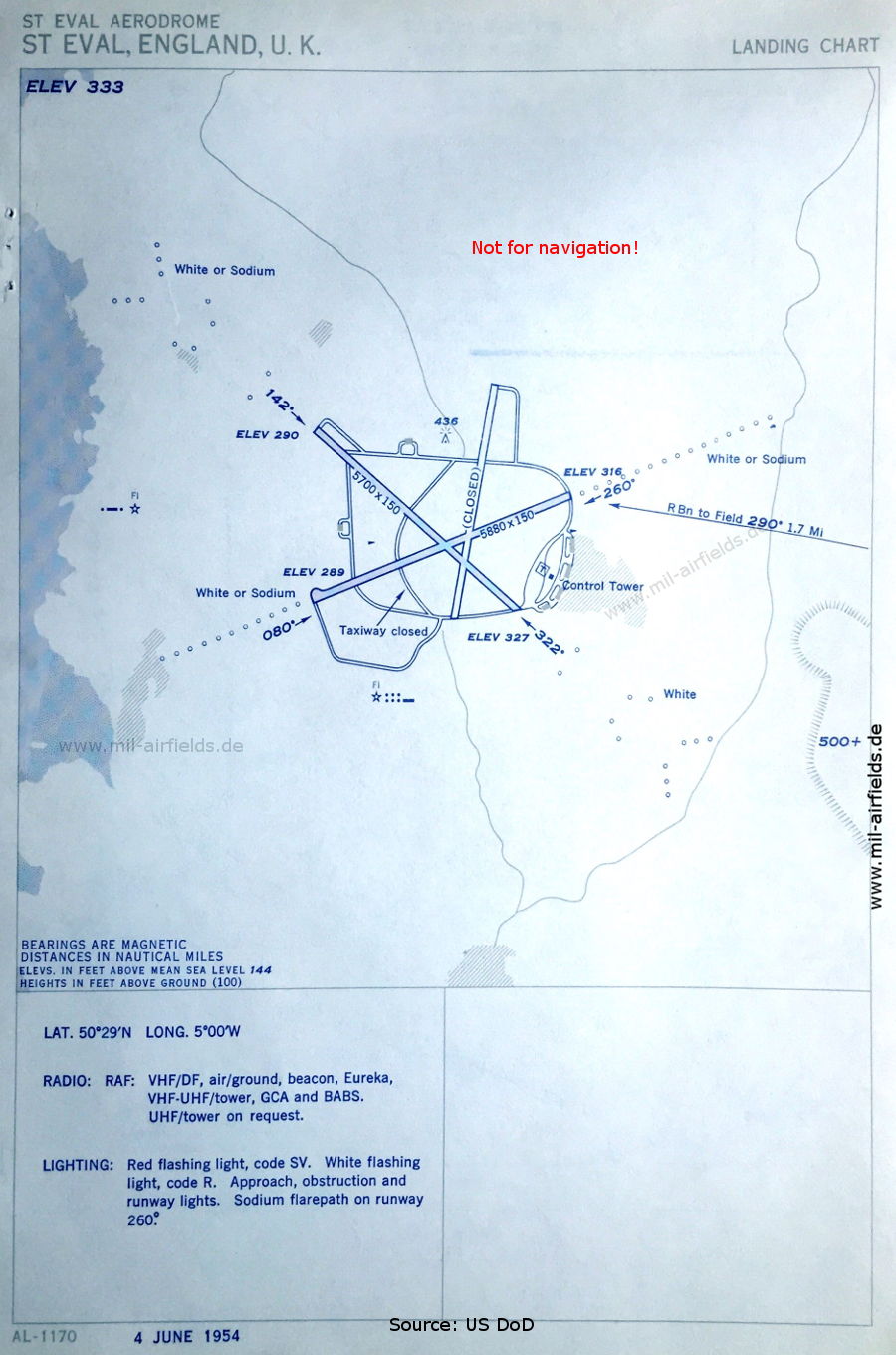
Aerodrome (June 1954) - There are two runways - 080/260: length 1792 m, width 46 m (5880 feet x 150 feet), 142/322: length 1737 m, width 46 m (5700 feet x 150 feet). (Source: US DoD)
Source for all maps, if not marked otherwise: US Department of Defense (US DoD)
Recommended
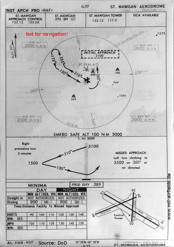
Image credits are shown on the respective target page, click on the preview to open it.
 mil-airfields.de at Facebook