For historical information only, do not use for navigation or aviation purposes!
| Coordinates | N540804 E0114057 (WGS84) Google Maps |
| Region | Baltic Sea |

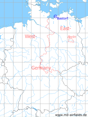
Germany during the Cold War Map
The history of the Cold War airfields: Bastorf
Location of airfield
1,1 km northwest of Bastorf.
Usage during the Cold War
Helipad 3322 for Anti-Aircraft Missile Unit 4333 (FRA-4333) of former East German Air Force (NVA LSK/LV).
Use today
Closed.
Runways, taxiways, aprons
Dimensions: 100 m x 120 m,
main takeoff and landing direction: 0° - 360°,
surface: grass,
capacity: 2 helicopters.
main takeoff and landing direction: 0° - 360°,
surface: grass,
capacity: 2 helicopters.
Telephone
Stabsnetz S1 6435-a
Airspace and procedures
Usable at day during good weather conditions.
Alert time: 60 minutes.
Alert time: 60 minutes.
Obstacles
Lighthouse: distance 800 m, height 30 m.
 Follow mil-airfields on Facebook