For historical information only, do not use for navigation or aviation purposes!
| Coordinates | N513130 E0110339 (WGS84) Google Maps |

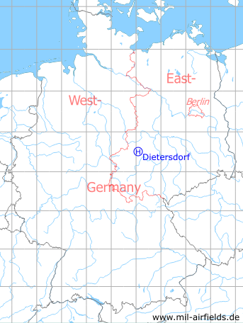
Germany during the Cold War Map
The history of the Cold War airfields: Dietersdorf
Location
Former East Germany ("GDR"), Bezirk (District) Halle;
today Federal State of Saxony-Anhalt.
today Federal State of Saxony-Anhalt.
Location of airfield
1 km southeast of Dietersdorf.
Usage during the Cold War
Helipad 3144 for Anti-aircraft Unit 511 (FRA-511) of former East German Air Force (NVA LSK/LV).
Use today
Closed.
Runways, taxiways, aprons
Dimensions: 100 m x 100 m,
main takeoff and landing direction: 45°,
surface: grass,
usable without crop damage,
capacity: 1 helicopter.
main takeoff and landing direction: 45°,
surface: grass,
usable without crop damage,
capacity: 1 helicopter.
Telephone
Stabsnetz S1 73391-61
Airspace and procedures
Usable day during good weather conditions.
Alert time: 60 minutes.
Alert time: 60 minutes.
Obstacles
None.
Airfields in the vicinity
- 259°/20km Nordhausen: Heliport
 Follow mil-airfields on Facebook