For historical information only, do not use for navigation or aviation purposes!
| Coordinates | N520349 E0073728 (WGS84) Google Maps |
| Elevation | 160 ft |
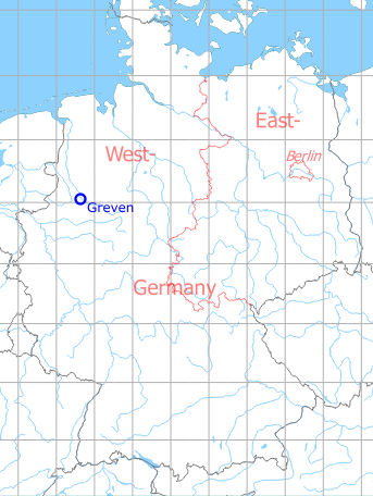
Germany during the Cold War Map
The history of the Cold War airfields: Greven
Location of airfield
Autobahn A1, 4 km south of Greven.
Usage during the Cold War
Highway Strip.
Use today
Closed.
Runways
- 03/21: 1800 m
 Follow mil-airfields on Facebook