For historical information only, do not use for navigation or aviation purposes!
| Coordinates | N514224 E0141453 (WGS84) Google Maps |
| Former East Germany (GDR) | District of Cottbus |
| Federal state | Brandenburg |
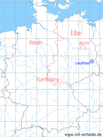
Germany during the Cold War Map
The history of the Cold War airfields: Leuthen
Location of airfield
1.2 km north of Leuthen.
Usage during the Cold War
Helipad 3021 for Microwave site 1 of former East German Air Force (NVA LSK/LV).
Use today
Closed.
Runways, taxiways, aprons
Dimensions: 250 m x 250 m,
main takeoff and landing direction: 180°,
surface: agricultural area,
capacity: 1 helicopter
main takeoff and landing direction: 180°,
surface: agricultural area,
capacity: 1 helicopter
Telephone
Stabsnetz S1 9446-450
Airspace and procedures
Usable at day during good weather conditions.
Alert time: 60 minutes.
Alert time: 60 minutes.
Obstacles
Forrest: direction 270°, 360°, height 12 m.
Airfields in the vicinity
- 025°/8km Cottbus: Air Base
- 136°/11km Groß Döbbern: Helipad 3132 (HSLP / HLP 3132)
- 208°/16km Welzow: Air Base (Neu-Welzow, Spremberg Welzow, Аэродром Ней-Вельцов)
- 259°/20km Bronkow: Airfield
 Follow mil-airfields on Facebook