For historical information only, do not use for navigation or aviation purposes!
| Coordinates | N531142 E0120703 ca. (WGS84) Google Maps |
| Airfield Id | 3348 |
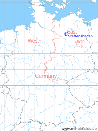
Germany during the Cold War Map
The history of the Cold War airfields: Steffenshagen
Location of airfield
Southern edge of Steffenshagen, exact location unknown.
Usage during the Cold War
Helipad 3348 for Anti-Aircraft Missile Unit 134 (FRA-134) of former East German Air Force (NVA LSK/LV).
Use today
Closed.
Runways, taxiways, aprons
Dimensions: 200 m x 200 m,
main takeoff and landing direction: 0°,
surface: concrete,
capacity: 1 helicopter.
main takeoff and landing direction: 0°,
surface: concrete,
capacity: 1 helicopter.
Telephone
Stabsnetz Stabsnetz S1 8487-844
Airspace and procedures
Usable at day during good weather conditions.
Alert time: 90 minutes.
Alert time: 90 minutes.
Obstacles
None.
Airfields in the vicinity
- 076°/14km Rohlsdorf: Helipad 3355 (HSLP / HLP 3355)
- 017°/19km Retzow: Airfield
- 061°/19km Freyenstein: Agricultural Airfield
- 301°/23km Ziegendorf: Helipad 3346 (HSLP / HLP 3346)
- 088°/27km Wittstock: Air Base (Wittstock/Dosse, Alt Daber, Аэродром Витшток)
 Follow mil-airfields on Facebook