For historical information only, do not use for navigation or aviation purposes!
| Coordinates | N511517 E0143003 (WGS84) Google Maps |
| Former East Germany (GDR) | District of Dresden |
| Federal state | Sachsen (Saxony) |
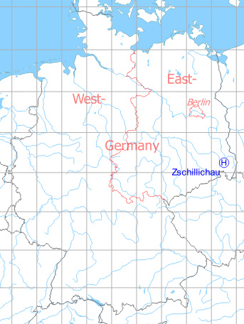
Germany during the Cold War Map
The history of the Cold War airfields: Zschillichau
Location of airfield
1 km east-northeast of Zschillichau.
Usage during the Cold War
Helipad 3052 for Radar Company 25 (FuTK-25) of former East German Air Force (NVA LSK/LV).
Use today
Closed.
Runways, taxiways, aprons
Dimensions: 100 m x 100 m,
main takeoff and landing direction: 270°,
surface: grass,
capacity: 2 helicopters.
main takeoff and landing direction: 270°,
surface: grass,
capacity: 2 helicopters.
Telephone
Sondernetz/Stabsnetz S1 9829-69-88
Airspace and procedures
Usable at day during good weather conditions.
Alert time: 60 minutes.
Alert time: 60 minutes.
Obstacles
Radar site.
Airfields in the vicinity
- 169°/7km Bautzen: Air Base (Litten)
 Follow mil-airfields on Facebook