For historical information only, do not use for navigation or aviation purposes!
| Coordinates | N491822 E0103404 (WGS84) Google Maps |
| Elevation | 1300 ft |
| Federal state | Bayern (Bavaria) |
Germany during the Cold War
The history of the Cold War airfields: Ansbach
General
US Army helipad, probably until the late 1960s.
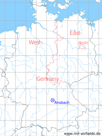
Location of airfield
Hindenburg Kaserne at Residenzstrasse.
Use today
Closed. A part of the former Hindenburg Kaserne is now home of a university. Another part has been used to build a shopping center.
Overview
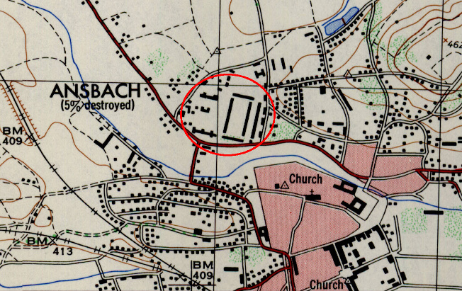
Hindenburg Kaserne on a US map from 1953 - (AMS M841 GSGS 4414, Courtesy Harold B. Lee Library, Brigham Young University /BYU/)
Airspace and procedures
For classified and VIP flights only;
operated from sunrise to sunset;
approach course 090°, departure course 270°;
traffic pattern 1800'
operated from sunrise to sunset;
approach course 090°, departure course 270°;
traffic pattern 1800'
Obstacles
91 m (300 ft) east: flag pole, height 30 m (100 ft),
numerous buildings and vehicles in the area.
numerous buildings and vehicles in the area.
 Follow mil-airfields on Facebook