For historical information only, do not use for navigation or aviation purposes!
| Coordinates | N531847 E0093353 (WGS84) Google Maps |
| Elevation | 130 ft |
| Federal state | Niedersachsen (Lower Saxony) |
Germany during the Cold War Map
The history of the Cold War airfields: Sittensen
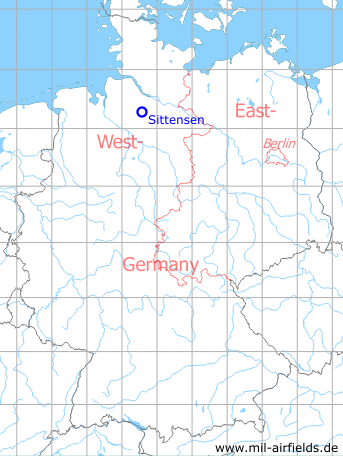
Location of airfield
Autobahn A1, between exits Sittensen and Heidenau.
Use today
Closed.
Runways
- 06/24: 1600 m
Airfields in the vicinity
- 215°/25km Rotenburg (Wümme): Airfield (Lent-Kaserne)
- 014°/38km Uetersen: Airfield (RAF Uetersen, Appen)
 Follow mil-airfields on Facebook