For historical information only, do not use for navigation or aviation purposes!
| Coordinates | N535638 E0153725 (WGS84) Google Maps |
| Elevation | 161 ft |
| Voivodeship | West Pomeranian (Województwo zachodniopomorskie) |
| Region | Powiat kołobrzeski, Rymań, Damitz |
The history of the Cold War airfields: Dębica
Location
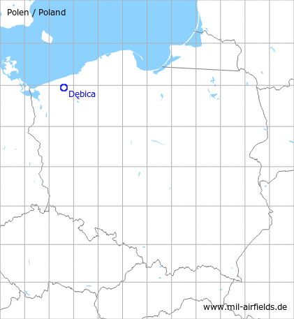
Dębica is located 25 km south of Kołobrzeg.
Location of airfield
The airfield was located 3 km southeast of Dębica.
During the Cold War
Use
Soviet reserve airfield.
In the 1960s
Overview
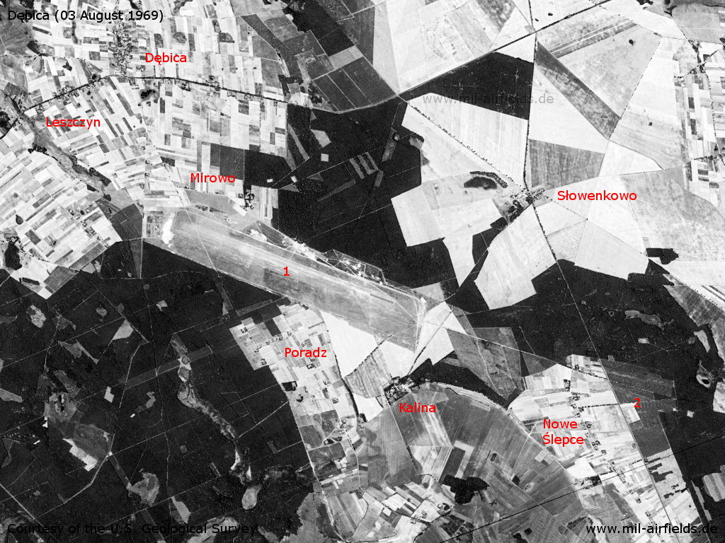
Dębica Airfield on a US satellite image from 03 August 1969 - 1: airfield; 2: probably radio beacons in this area. Other places: Kalina, Leszczyn, Mirowo, Nowe Ślepce, Poradz, Słowenkowo.
Source: U.S. Geological Survey
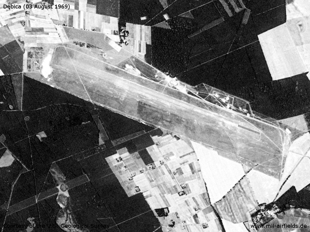
At the southeastern beginning, the runway seems to be paved.
Source: U.S. Geological Survey
In the 1970s
Overview
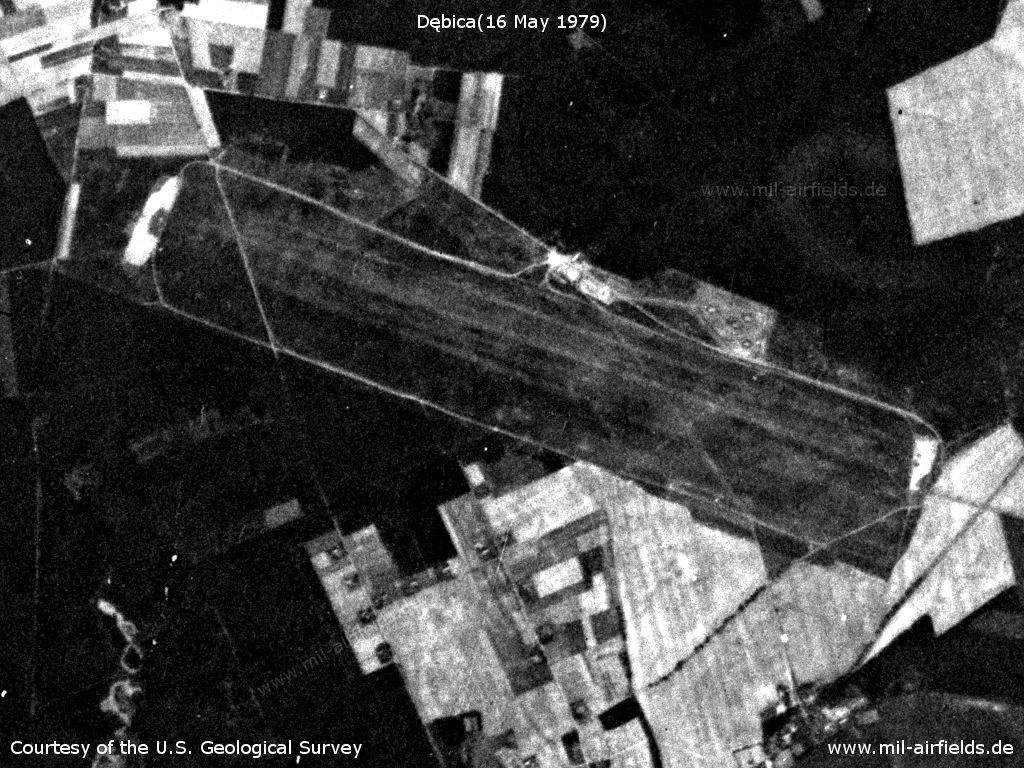
Dębica Aerodrome on the 16 May 1979
Source: U.S. Geological Survey
In the 1980s and early 1990s
Runways
- 11/29: 2500 m x 400 m Grass
Radio beacons
- LOM: 605 "LJ / SG"
- LMM: 295 "L / S"
Radio communication
Call sign: "LEDJANOY" (ЛЕДЯНОЙ)
Installations
Area: 730 ha (Source: www.bicc.de).
Today
Use today
Closed. Transfered to Polish Authorities on 19APR1991 (Source: www.bicc.de).
Airfields in the vicinity
Recommended
Image credits are shown on the respective target page, click on the preview to open it.
 Follow mil-airfields on Facebook