Jever Air Base, Germany
Upjever, RAF Jever, Schortens
Historical approach and aerodrome charts Germany
RAF Jever
For historical information only, do not use for navigation or aviation purposes!
| Coordinates | N533201 E0075315 (WGS84) Google Maps |
| Federal state | Niedersachsen (Lower Saxony) |
| Location indicator | DAJE (195x), EDNJ (196x-1995), ETNJ (1995-2013) |
Airfield
Location Indicator:
DAJE (RAF); EDNJ, ETNJ (GAF)
User:
Royal Air Force (RAF), German Air Force (GAF)
In the 1960s
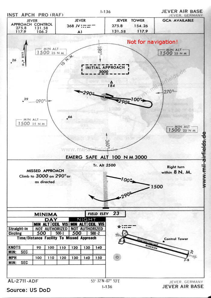
NDB approach runway 29 (October 1960) - At this time, Jever is still occupied by the Royal Air Force (RAF). There is one runway - 11/29: length 2469 m, width 44 m (8100 feet x 144 feet). Immediately north of it there is a short grass strip. In the northwest corner is the beacon typical for RAF airfields, which flashes here with the Morse code "JV". (Source: US DoD)

NDB approach runway 29 (May 1966) - Now the airfield is used by the German Air Force (GAF), which also issued this procedure. The beacon "JV" has disappeared, the control tower has moved to the south side. (Source: US DoD)
Source for all maps, if not marked otherwise: US Department of Defense (US DoD)
Index to the objects shown on the maps
Radio beacons:
- Jever NDB "JEV", "JV"
Air traffic control:
- Jever Approach Control, Jever Tower
- Weser Control
Source for all maps, if not marked otherwise: US Department of Defense (US DoD)
Links
http://www.rafjever.org/stationmaps.htm - Jever Steam Laundry - Various maps from 1956 and 2006
Recommended
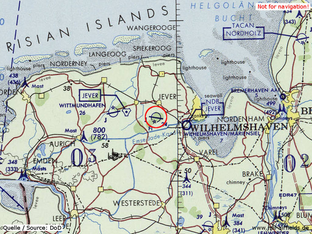
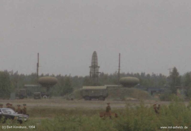
Image credits are shown on the respective target page, click on the preview to open it.
 mil-airfields.de at Facebook