Kitzingen Army Airfield (AAF)
Harvey Barracks
Historical approach and aerodrome charts
For historical information only, do not use for navigation or aviation purposes!
| Coordinates | N494434 E0101208 (WGS84) Google Maps |
| Federal state | Bayern (Bavaria) |
Airfield
Region:
Unterfranken, Bavaria
Location indicator:
EDIN, ETIN, EDGY
User: US Army
In the 1960s
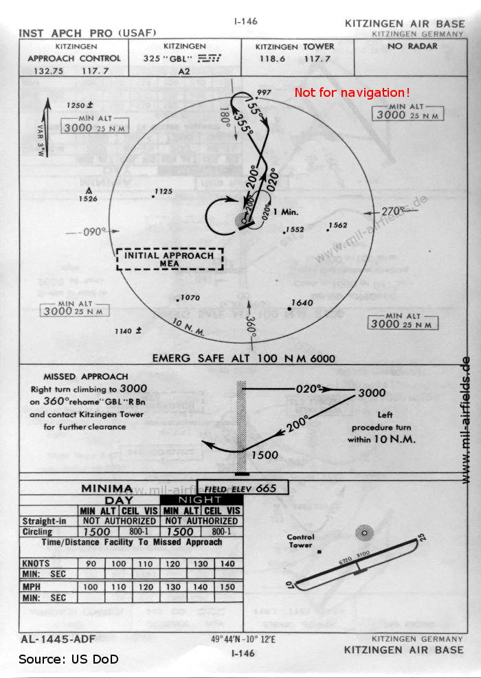
NDB approach for "Kitzingen Air Base" from the US Air Force (USAF) (October 1960) - There is one runway - 07/25: length 2048 m, width 30 m (6720 feet x 100 feet). The procedure was issued by the US Air Force (USAF). Interesting is also the identification of the beacon: "GBL" sounds more like the nearby airfield Giebelstadt. (Source: US DoD)
Index to the objects shown on the maps
Radio beacons:
- Kitzingen NDB "GBL"
Air traffic control
- Kitzingen Approach Control, Kitzingen Tower
Source for all maps, if not marked otherwise: US Department of Defense (US DoD)
Recommended
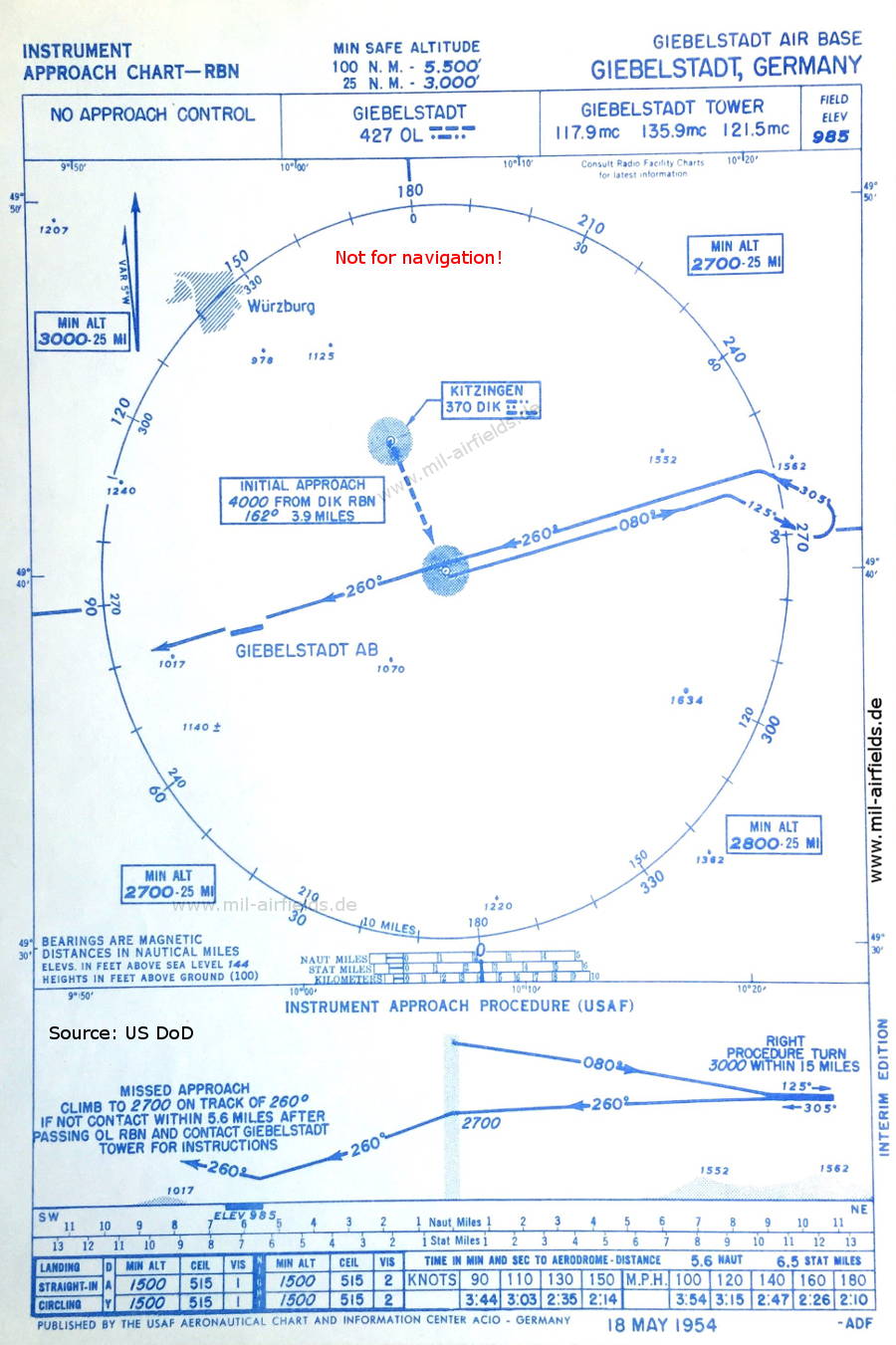


Image credits are shown on the respective target page, click on the preview to open it.
 mil-airfields.de at Facebook