Lechfeld Air Base
Klosterlechfeld, Graben
Historical approach and aerodrome charts
For historical information only, do not use for navigation or aviation purposes!
| Coordinates | N481109 E0105141 (WGS84) Google Maps |
| Federal state | Bayern (Bavaria) |
| Location indicator | DELF (195x), EDSL (196x-199x), ETSL (199x-) |
Location Indicator: DELF, EDSL, ETSL
User: German Air Force (GAF)
In the 1960s
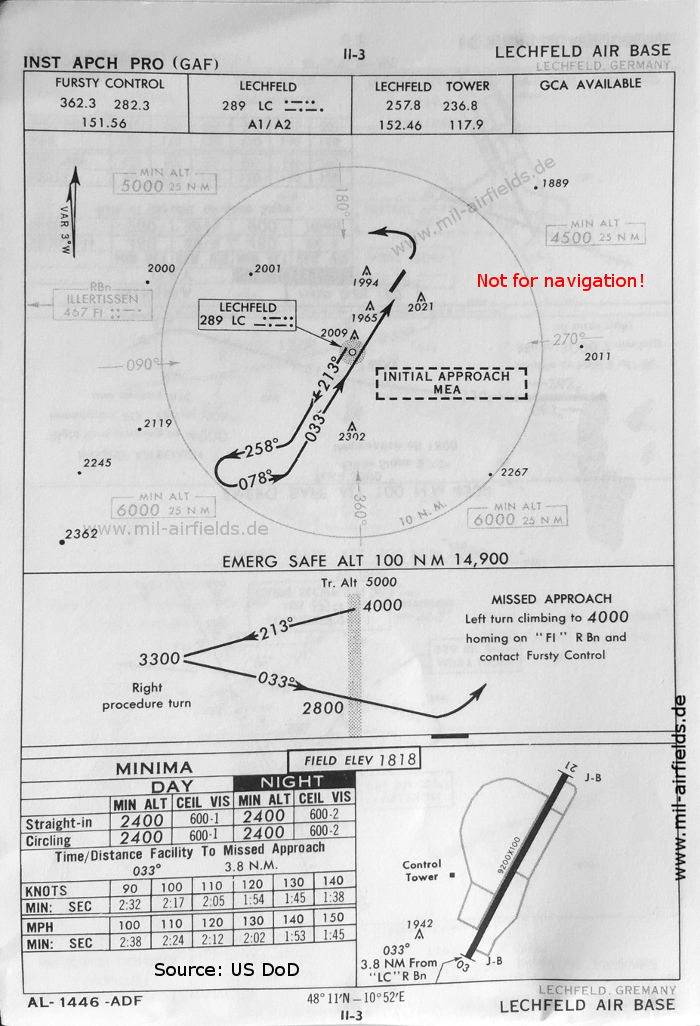
NDB approach runway 03 (October 1960) (Source: US DoD)
NDB approach runway 03 (May 1966) - Interesting is the grass runway 02/20 in the northwest of the field. It has the dimensions 600 m x 30 m (1,968 feet x 98 feet) (Source: US DoD)
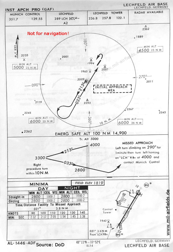
Source for all maps, if not marked otherwise: US Department of Defense (US DoD)
Recommended
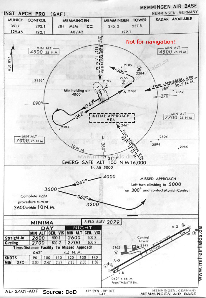
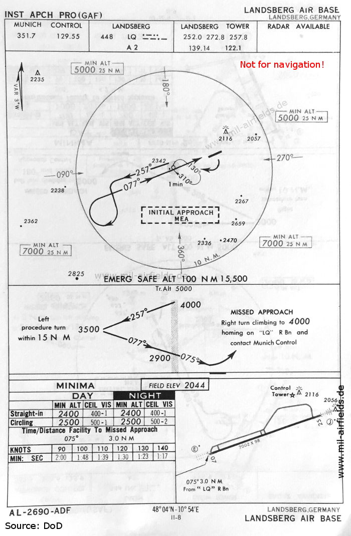
Image credits are shown on the respective target page, click on the preview to open it.
Navigation
Approach and airfield charts - Federal Republic of Germany