Gran Canaria Airport (Las Palmas)
Historical approach and aerodrome charts
Aeropuerto de Gran Canaria / Base Aérea de Gando - Cartas de aproximación históricos
For historical information only, do not use for navigation or aviation purposes!
| Coordinates | N275551 W0152310 (WGS84) Google Maps |
Location Indicator: GCLP
In the 1960s
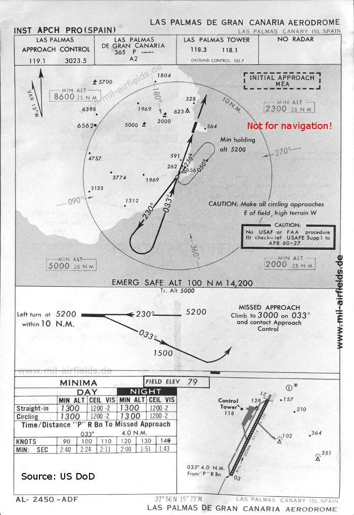
NDB approach runway 03 (May 1966)
(Source: US DoD)
(Source: US DoD)
Source for all maps, if not marked otherwise: US Department of Defense (US DoD)
Index to the objects shown on the maps
Radio beacons / Radiofaro:
- Las Palmas de Gran Canaria NDB P
Air traffic control / Control del tráfico aéreo:
- Las Palmas Approach Control
- Las Palmas Tower
Recommended
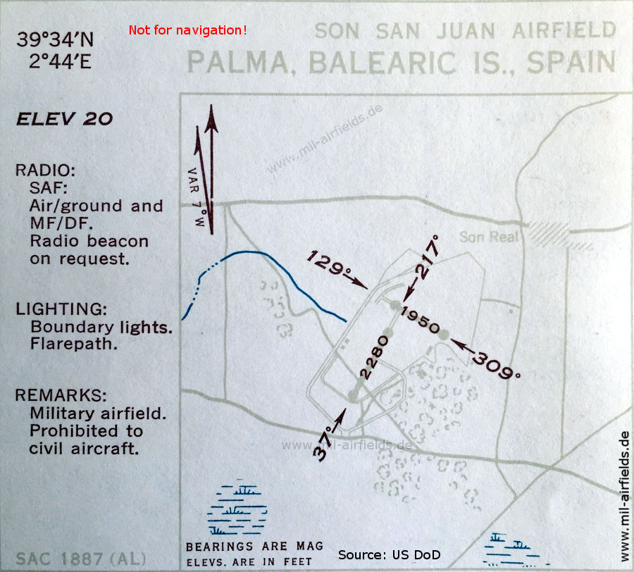
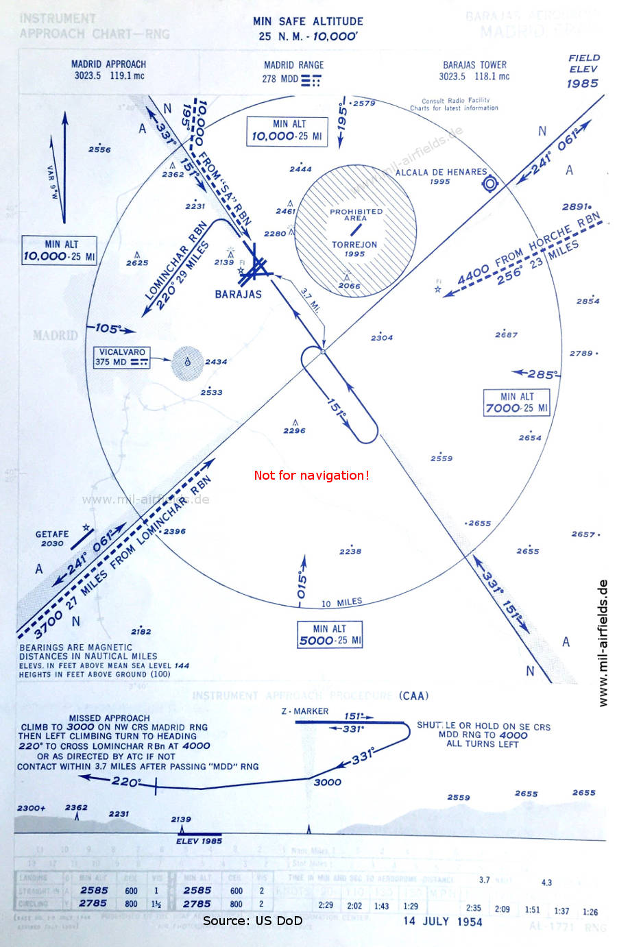
Image credits are shown on the respective target page, click on the preview to open it.