San Javier Air Base
Historical approach and aerodrome charts
Base Aérea de San Javier - Cartas de aproximación históricos
For historical information only, do not use for navigation or aviation purposes!
| Coordinates | N374643 W0004846 (WGS84) Google Maps |
Airfield
Region: Murcia, Levante / Llevant
Location indicator:
User: Spanish Air Force (Ejército del Aire), until 2019 also Murcia Airport
In the 1960s
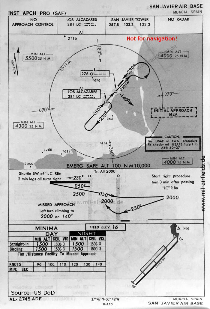
NDB approach runway 05 (May 1966)
There is one runway - 05/23: length 2300 m, width 60 m (7546 feet x 197 feet).
(Source: US DoD)
There is one runway - 05/23: length 2300 m, width 60 m (7546 feet x 197 feet).
(Source: US DoD)
Index to the objects shown on the maps
Radio beacons / Radiofaro:
- Los Alcazares NDB "LC", San Javier Locator "O"
Air traffic control / Control del tráfico aéreo:
- San Javier Tower
Source for all maps, if not marked otherwise: US Department of Defense (US DoD)
Recommended
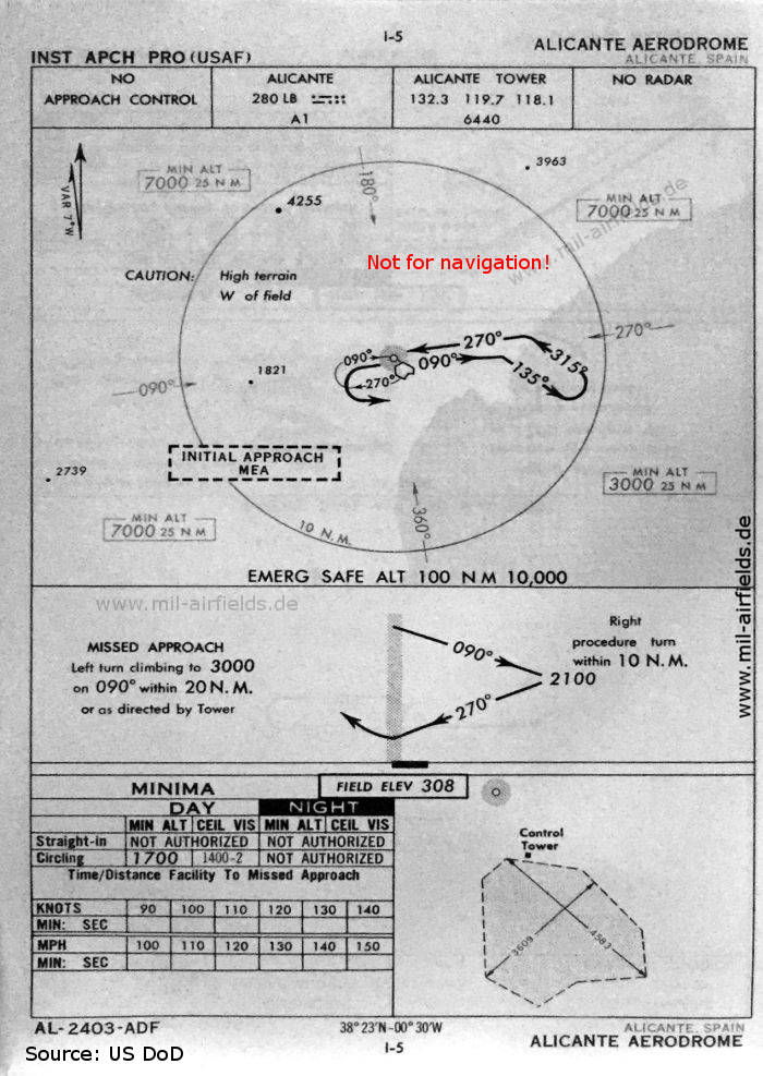
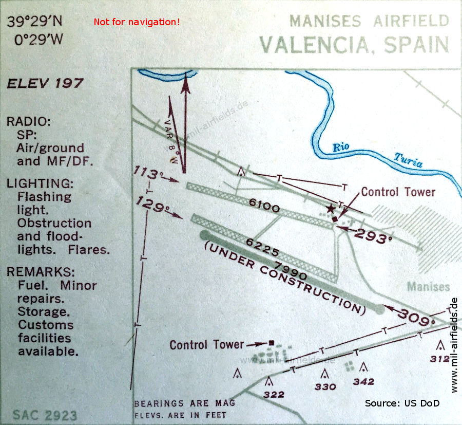
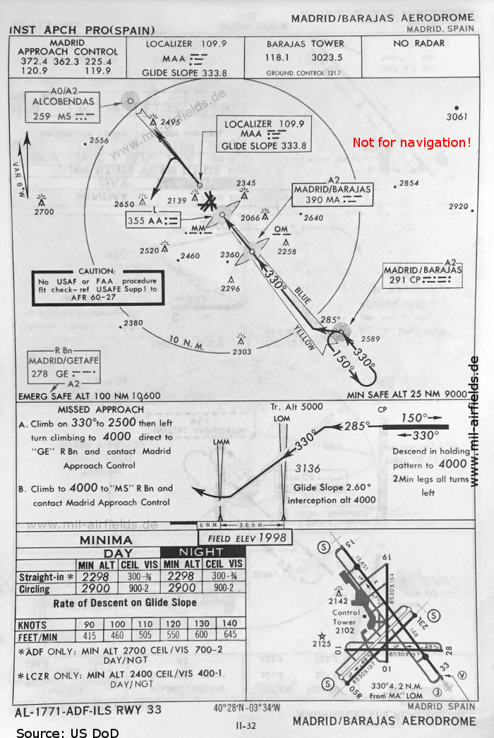

Image credits are shown on the respective target page, click on the preview to open it.
 mil-airfields.de at Facebook