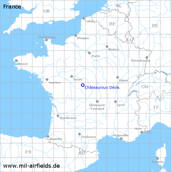
Châteauroux Déols Air Base
Aéroport de Châteauroux-Centre
Historical approach and aerodrome charts
Base aérienne 103 Châteauroux - Cartes d'approche / d'atterrissage historiques
For historical information only, do not use for navigation or aviation purposes!
| Coordinates | N465146 E0014350 (WGS84) Google Maps |
| Region | Marne |
| Location indicator | LFOU (USAF), LFSR |
In the 1960s
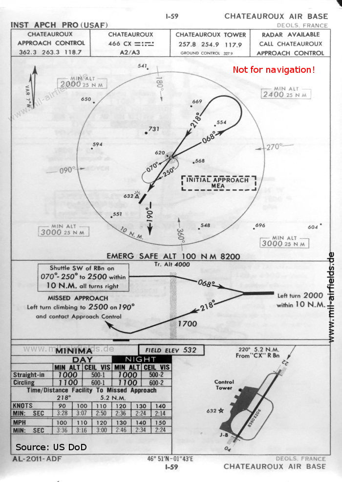
NDB approach runway 22 (October 1960) - There is one runway - 04/22: length 2548 m, width 63 m (8360 feet x 206 feet). (Source: US DoD)

TACAN approach runway 22 (October 1960) (Source: US DoD)
Index to the objects shown on the maps
Radio beacons / Radiophares aéronautiques:
- Chateauroux NDB "CX", TACAN "CX"
Air traffic control / Contrôle de la circulation aérienne:
- Chateauroux Approach Control, Chateauroux Tower
Source for all maps, if not marked otherwise: US Department of Defense (US DoD)
 mil-airfields.de at Facebook