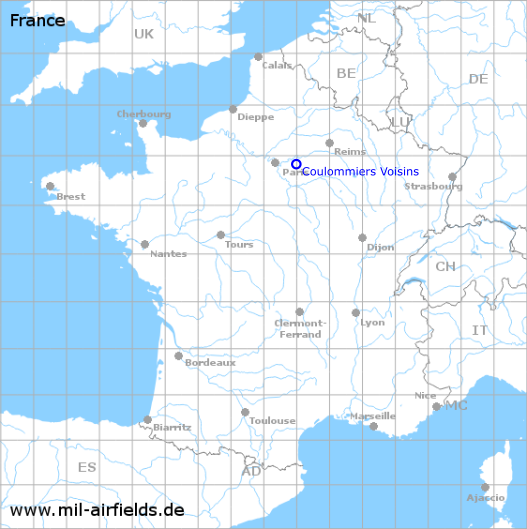
Coulommiers Voisins Airfield
Aérodrome de Coulommiers - Voisins
Historical approach and aerodrome charts
Aérodrome de Coulommiers - Voisins
For historical information only, do not use for navigation or aviation purposes!
| Coordinates | N485015 E0030043 (WGS84) Google Maps |
| Region | Île-de-France |
| Location indicator | LFPK |

In the 1950s
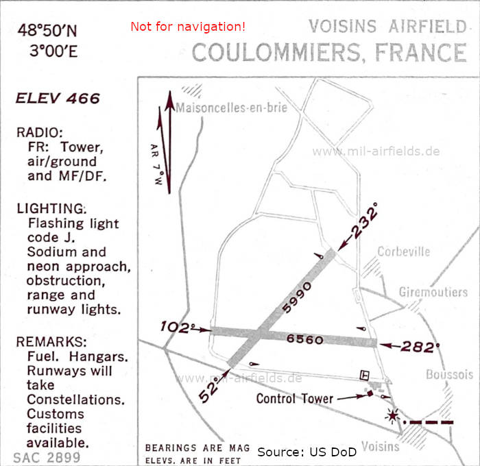
Airfield map (October 1950) - There are two runways - 052/232: length 1826 m (5990 feet), 102/282: length 1999 m (6560 feet). (Source: US DoD)
Index to the objects shown on the maps
Air traffic control / Contrôle de la circulation aérienne:
- Tower
Places
- Boussois
- Corbeville
- Giremoutiers
- Maisoncelles-en-brie
- Voisins
Source for all maps, if not marked otherwise: US Department of Defense (US DoD)
Recommended

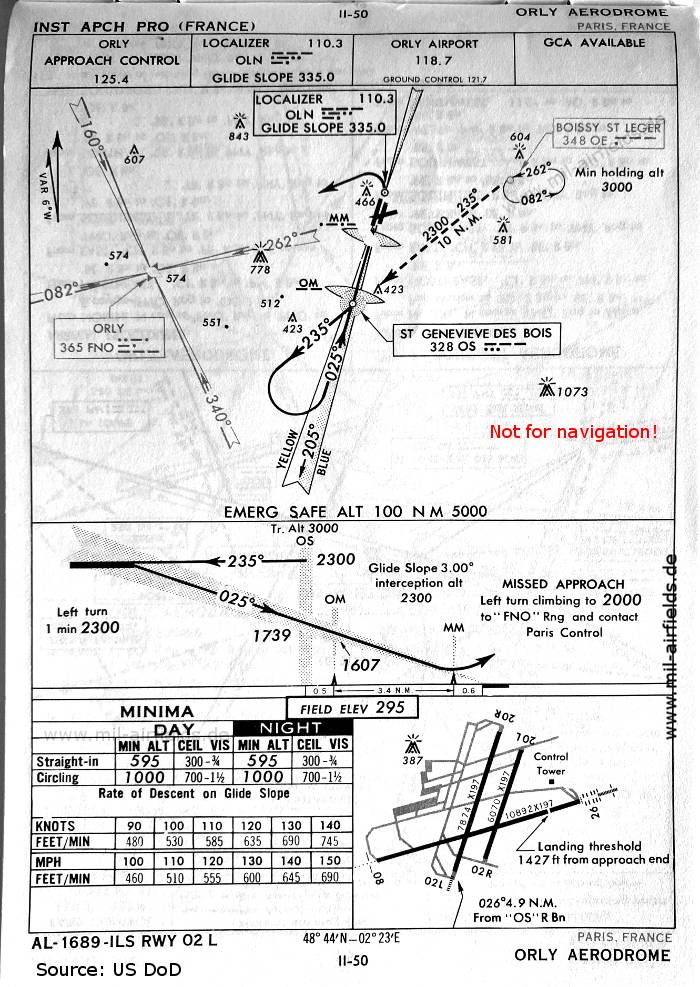

Image credits are shown on the respective target page, click on the preview to open it.
 mil-airfields.de at Facebook