Reims-Champagne Air Base
Base aérienne 112 Reims-Champagne, B.A. 112
Historical approach and aerodrome charts
Base aérienne 112 Reims-Champagne (B.A. 112) - Cartes d'approche / d'atterrissage historiques
For historical information only, do not use for navigation or aviation purposes!
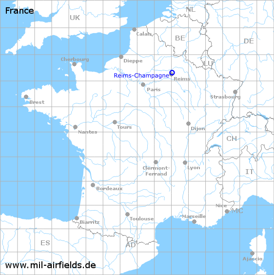
| Coordinates | N491835 E0040259 (WGS84) Google Maps |
| Location indicator | LFSR |
Use
- Airfield of the French Air Force (Armée de l’air)
- 2011: Withdrawel of the flying units
- 2012: Closed as military base
In the 1960s

NDB approach runway 25 (October 1960) - There is one runway - 073/253: length 2885 m, width 50 m (9465 feet x 164 feet). There is a grass strip north of the paved runway. (Source: US DoD)
In the 1970s

Reims-Champagne Air Base on a map of the US Department of Defense from 1972 (Source: ONC E-2 (1972), Perry-Castañeda Library Map Collection, University of Texas at Austin)
Index to the objects shown on the maps
Radio beacons / Radiophares aéronautiques:
- Champagne NDB "RC"
Air traffic control / Contrôle de la circulation aérienne:
- Reims Approach Control, Reims Airport
Source for all maps, if not marked otherwise: US Department of Defense (US DoD)
 mil-airfields.de at Facebook