Toul Rosières Air Base
Base aérienne 136, B.A. 136
Historical approach and aerodrome charts
Base aérienne 136 (B.A. 136) - Cartes d'approche historiques
For historical information only, do not use for navigation or aviation purposes!
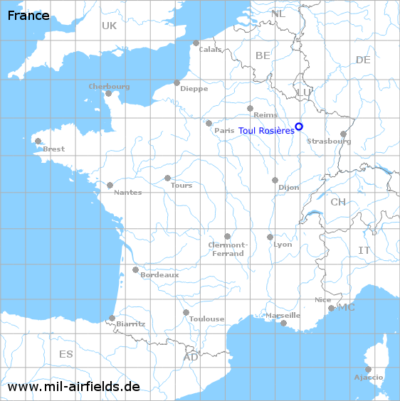
| Coordinates | N484649 E0055848 (WGS84) Google Maps |
| Region | Grand Est, Département Meurthe-et-Moselle, Lorraine, Rosières-en-Haye |
| Location indicator | LFSL |
| Operator | US Air Force (USAF), Armée de l’air |
Use
Toul Rosières originated from the Second World War and was expanded in 1951 as a base for the US Air Force. When France withdrew from the military part of NATO and the US units left, the site was transferred to the French Air Force, which used it until around 2010. After that the airfield was closed and today houses the solar park "Centrale photovoltaïque de Toul-Rosières".
In the 1960s
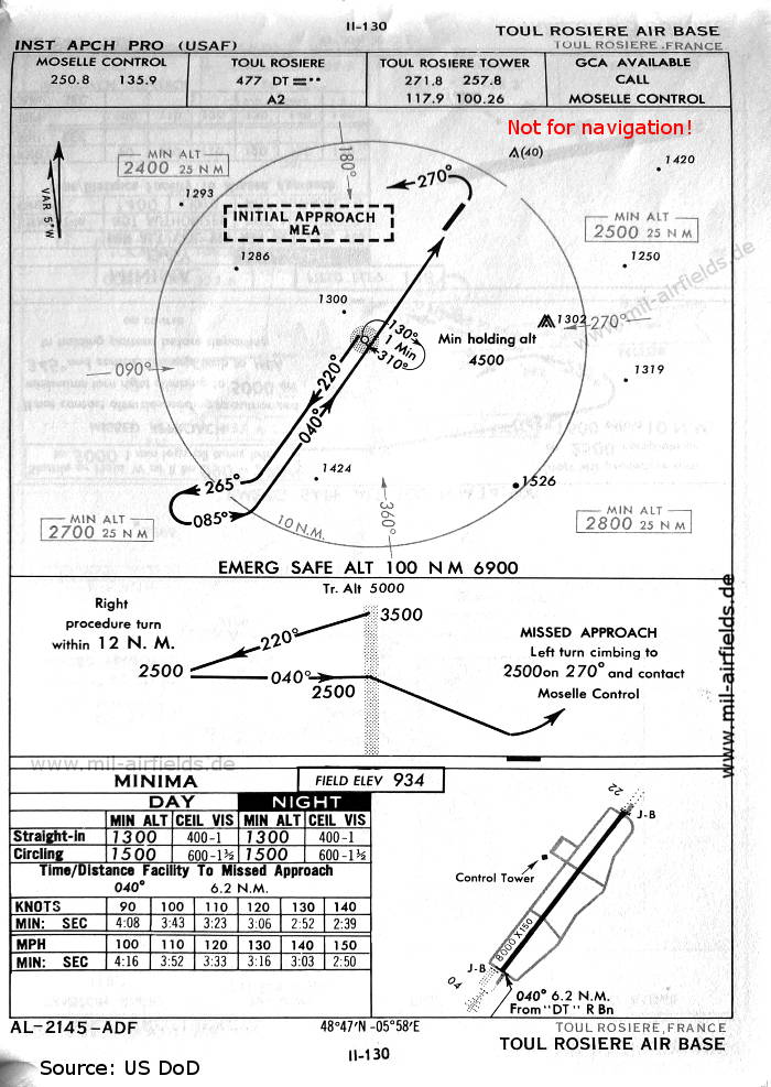
NDB approach runway 04 (October 1960) - The map is from the time when the field was used by the US Air Force. There is one runway - 04/22: length 2438 m, width 46 m (8000 feet x 150 feet). (Source: US DoD)
In the 1970s
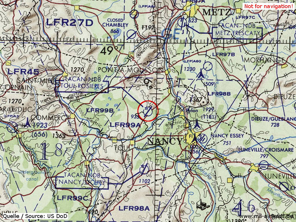
Toul Rosières Air Base on a map of the US Department of Defense from 1972 (Source: ONC E-2 (1972), Perry-Castañeda Library Map Collection, University of Texas at Austin)
Index to the objects shown on the maps
Radio beacons / Radiophares aéronautiques:
- Toul Rosieres NDB "DT"
Air traffic control / Contrôle de la circulation aérienne:
- Moselle Control
- Toul Rosieres Tower
Source for all maps, if not marked otherwise: US Department of Defense (US DoD)
Links
https://fr.wikipedia.org/wiki/Base_a%C3%A9rienne_1... - Wikipedia: Base aérienne 136 Toul-Rosières (French)
 mil-airfields.de at Facebook