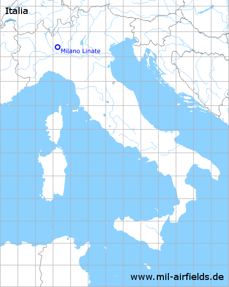
Milano Linate Airport
Aeroporto di Milano Linate "Enrico Forlanini"
Historical approach and aerodrome charts
Aeroporto di Milano Linate: Carte di avvicinamento
For historical information only, do not use for navigation or aviation purposes!
| Coordinates | N452642 E0091637 (WGS84) |
| Location indicator | LIML |
In the 1950s
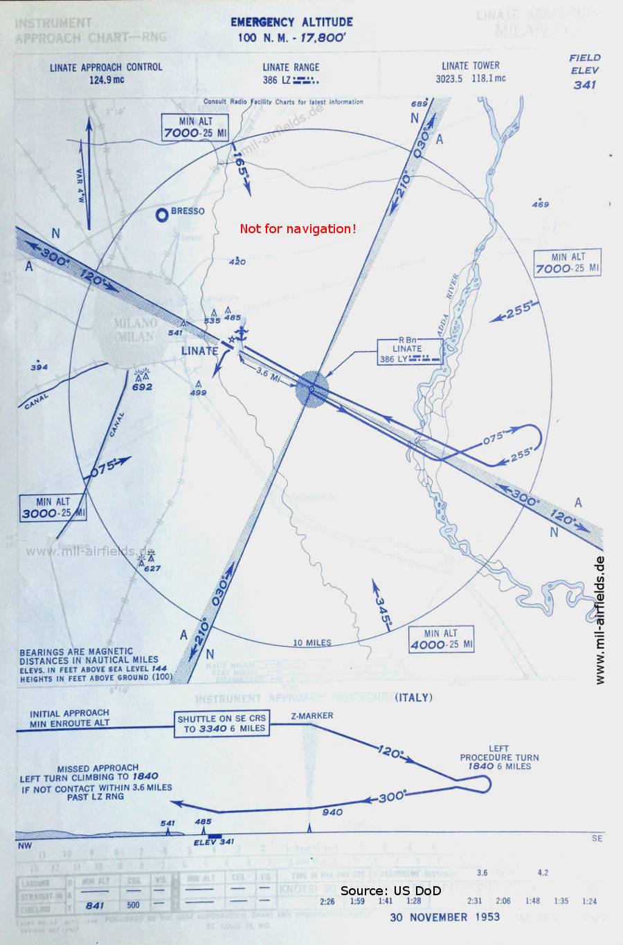
Range approach runway 30 (November 1953) - At the location of the Range with the identification "LZ" there is also an Non-Directional Beacon, identification "LY", which transmits on the same frequency 386 kHz when the Range is out of operation. (Source: US DoD)

Airport map (November 1953) - Runway 12/30 has a length of 920 m (3,018 feet) and is partially covered with perforated steel plates (PSP). To the east is the artificial lake Idroscalo with a seaplane landing site (anchor symbol). To the north is the marshalling yard "Stazione di Milano Smistamento". The facilities of today's airport are located south of the former runway 12/30. (Source: US DoD)
In the 1970s
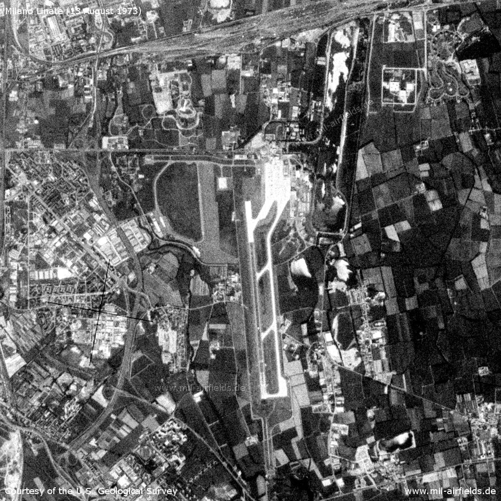
Satellite image from 13 August 1973 - The image is from a US reconnaissance satellite and was previously subject to high levels of classification. (Source: U.S. Geological Survey)
Index to the objects shown on the maps
Aerodromes / Aeroporti:
- Bresso, Milano Linate
Radio beacons / Radiofaro:
- Linate Range "LZ", NDB "LY"
Air traffic control / Controllo del traffico aereo / Communications:
- Linate Approach Control, Linate Tower
Landmarks and places:
- Adda, Lambrate, Morsenchio, Ortica, Rogoredo
Source for all maps, if not marked otherwise: US Department of Defense (US DoD)
Recommended


Image credits are shown on the respective target page, click on the preview to open it.