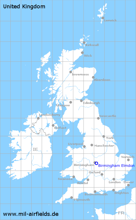
Birmingham Elmdon Airport
Elmdon
Historical approach and aerodrome charts / Airfield history
For historical information only, do not use for navigation or aviation purposes!
| Coordinates | N522715 W0014454 (WGS84) Google Maps |
| Location indicator | GJGA, EGBB |
In the 1950s

Airport map (October 1950) - There are two runways - 068/248: length 1298 m (4260 feet), 156/336: length 1271 m (4170 feet). (Source: US DoD)
Source for all maps, if not marked otherwise: US Department of Defense (US DoD)
Links
https://atchistory.wordpress.com/2019/06/29/egbb-b... - EGBB Birmingham (Elmdon) Airport Part 2 - Landing chart
Recommended

Image credits are shown on the respective target page, click on the preview to open it.
 mil-airfields.de at Facebook