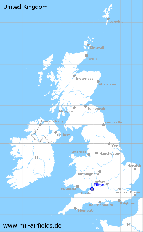
Bristol Filton Airport
Historical approach and aerodrome charts
For historical information only, do not use for navigation or aviation purposes!
| Coordinates | N513110 W0023528 (WGS84) Google Maps |
| Location indicator | GDEN, EGFB, EGTG |
In the 1950s
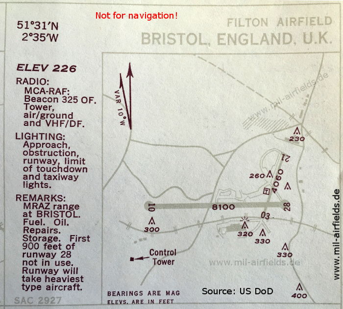
Airport (October 1950) - There are two runways - 10/28: length 2469 m (8100 feet), 03/21: length 1237 m (4060 feet). (Source: US DoD)
Source for all maps, if not marked otherwise: US Department of Defense (US DoD)
Recommended


Image credits are shown on the respective target page, click on the preview to open it.
 mil-airfields.de at Facebook