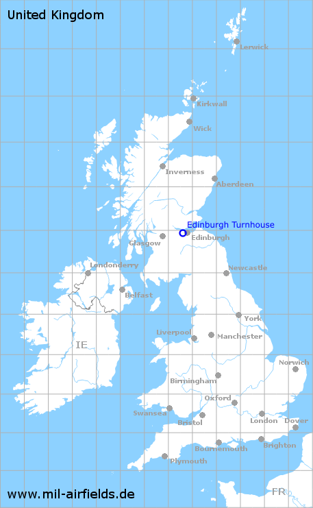
Edinburgh Turnhouse Airport
RAF Turnhouse
Historical approach and aerodrome charts / Airfield history
For historical information only, do not use for navigation or aviation purposes!
| Coordinates | N555658 W0032141 (WGS84) Google Maps |
| Location indicator | MGXZ, EGPH |
In the 1950s
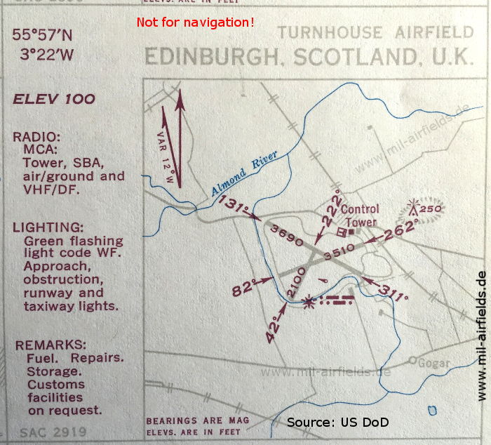
Airport (October 1950) - There are three runways - 042/222: length 640 m (2100 feet), 082/262: length 1070 m (3510 feet), 131/311: length 1125 m (3690 feet). (Source: US DoD)
In the 1960s
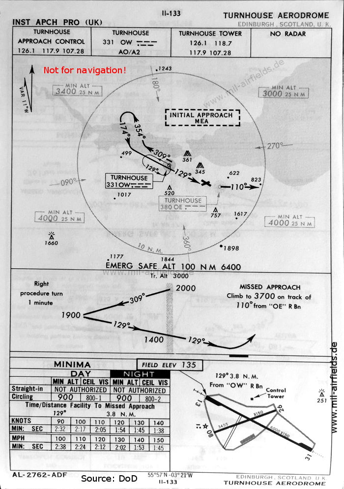
NDB approach runway 13 (October 1960) - Now two runways are shown - 13/31: length 1829 m, width 46 m (6000 feet x 150 feet), 08/26: length 1053 m, width 46 m (3455 feet x 150 feet). (Source: US DoD)
Source for all maps, if not marked otherwise: US Department of Defense (US DoD)
Recommended


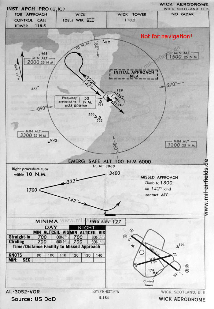
Image credits are shown on the respective target page, click on the preview to open it.
 mil-airfields.de at Facebook