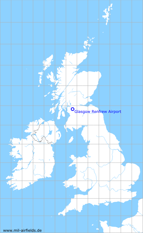
Glasgow Renfrew Airport
Historical approach and aerodrome charts
For historical information only, do not use for navigation or aviation purposes!
| Coordinates | N555208 W0042301 (WGS84) Google Maps |
| Location indicator | EGPF |
In the 1950s

Airport (October 1950) - There are two runways - 029/209: length 1225 m (4020 feet), 083/263: length 1829 m (6000 feet). A Standard Beam Approach (SBA) is available as approach aid. (Source: US DoD)
Source for all maps, if not marked otherwise: US Department of Defense (US DoD)
Recommended

Image credits are shown on the respective target page, click on the preview to open it.
 mil-airfields.de at Facebook