For historical information only, do not use for navigation or aviation purposes!
| Coordinates | N485647 E0142539 (WGS84) Google Maps |
| Elevation | 1417 ft |
| Location indicator | LKCS, LKPD |
The history of the Cold War airfields: České Budějovice
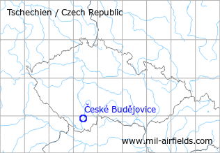
Location of airfield
6 km southwest of České Budějovice.
During World War II
Use
Budweis airfield.
Situation
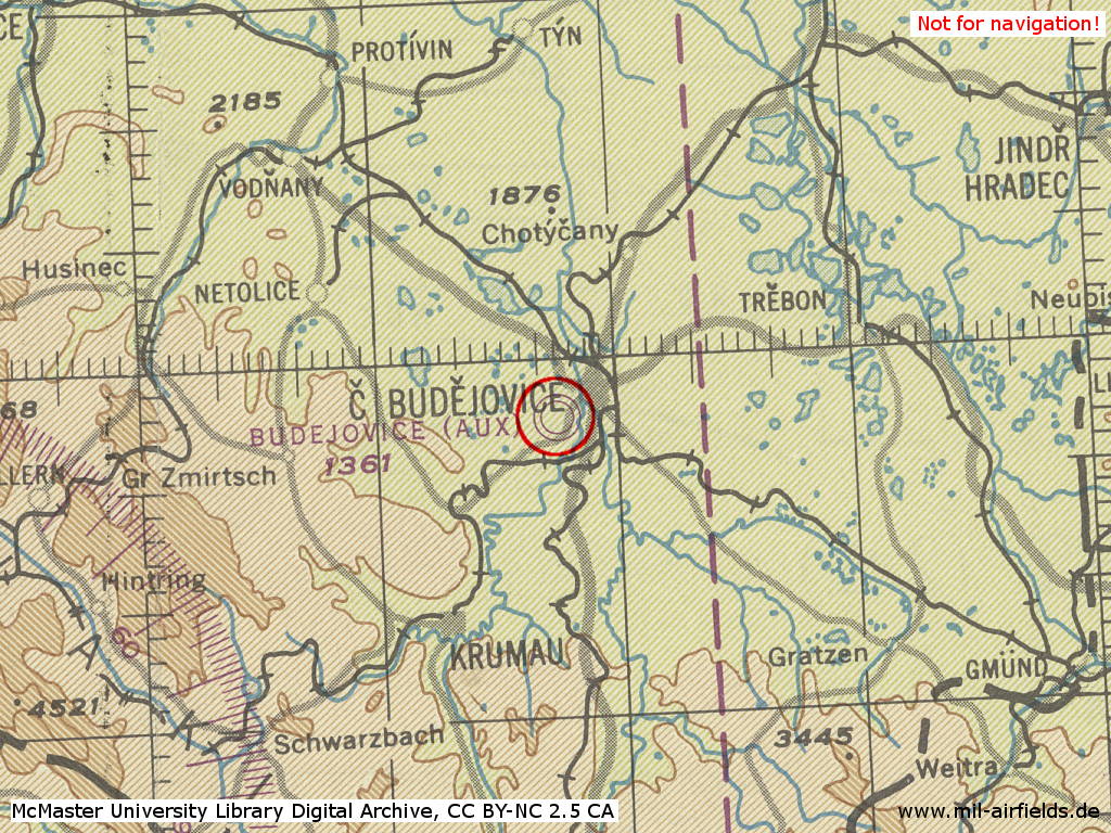
České Budějovice Air Base in World War II on a US map from 1944
Source: McMaster University Library Digital Archive, License: Creative Commons Attribution-NonCommercial 2.5 CC BY-NC 2.5 CA
During the Cold War
Use
Air base.
In the 1950s
Images
The following pictures of the airfield probably date from 1958 and were taken for the CIA.
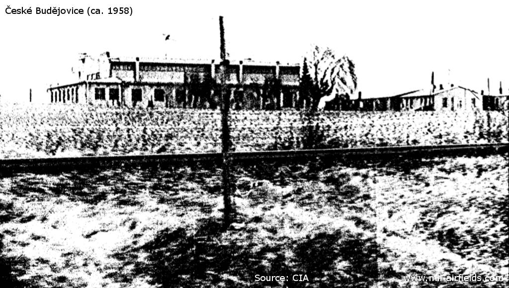
Building
Source: CIA
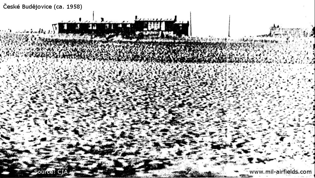
Building
Source: CIA
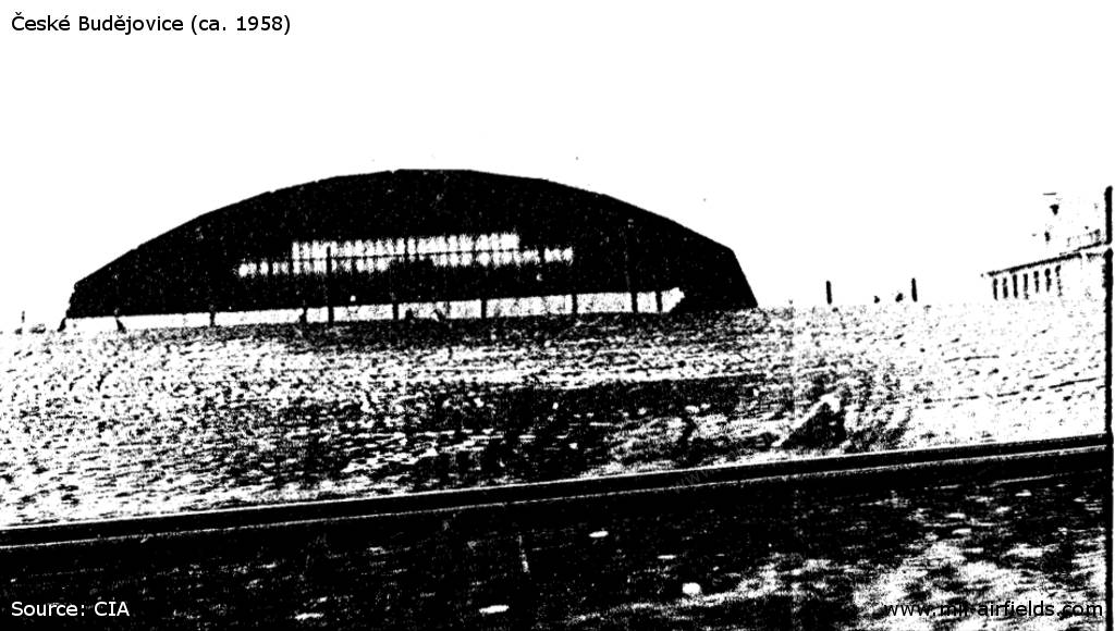
Hangar
Source: CIA
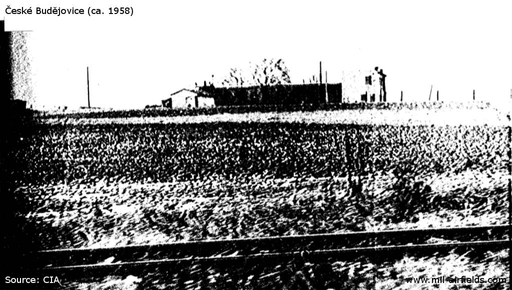
Building
Source: CIA
In the 1970s
Situation
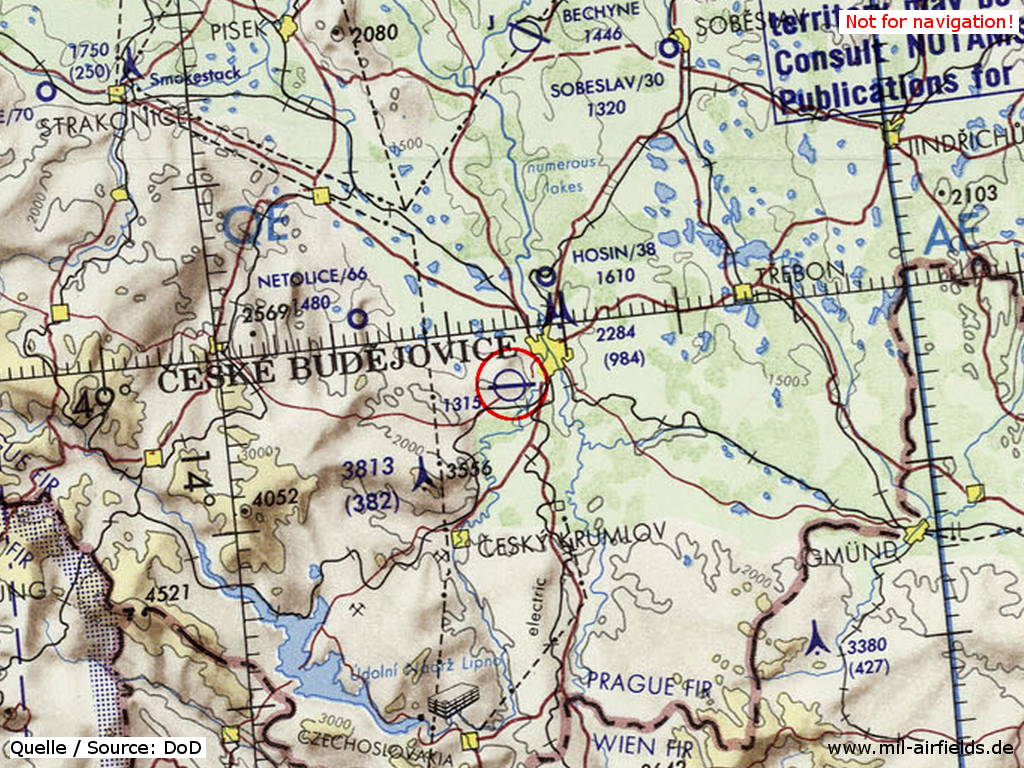
České Budějovice Air Base on a map of the US Department of Defense from 1973
Source: ONC E-3 (1973), Perry-Castañeda Library Map Collection, University of Texas at Austin
In the 1980s and early 1990s
Runways
- 09/27: 2500 m x 60 m
Radio beacons
- LOM: 402 "RA"
- LMM: 155 "R"
Radio communication
The radio call sign of the airfield was "RENTA" (198x).
According to western signals intelligence (SIGINT), the airfield was also called "Navigacni Punkt 100" by the Czechoslovak Air Force.
Units
1 SLP "Zvolensky": L-39ZA, MiG-23MF/ML/UB (1990)
Today
Use
Airfield.
Airfields in the vicinity
- 299°/18km Netolice: Airfield (Letiště Netolice, Lužice, Babice)
- 008°/37km Bechyně: Air Base (Letiště Bechyně)
- 014°/57km Tábor: Airfield (Letiště Tábor, Všechov)
- 309°/58km Katovice: Airfield (Letiště Katovice)
 Follow mil-airfields on Facebook