For historical information only, do not use for navigation or aviation purposes!
| Coordinates | N495623 E0152255 (WGS84) Google Maps |
| Elevation | 794 ft |
| Location indicator | LKCV |
| Airfield Id | Punkt 250 |
The history of the Cold War airfields: Čáslav
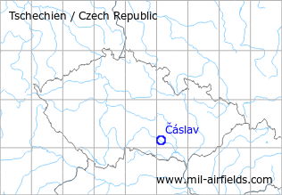
Location of airfield
North of Čáslav.
During World War II
Use
Caslau airfield.
During the Cold War
Use
Air base.
In the 1970s
Situation
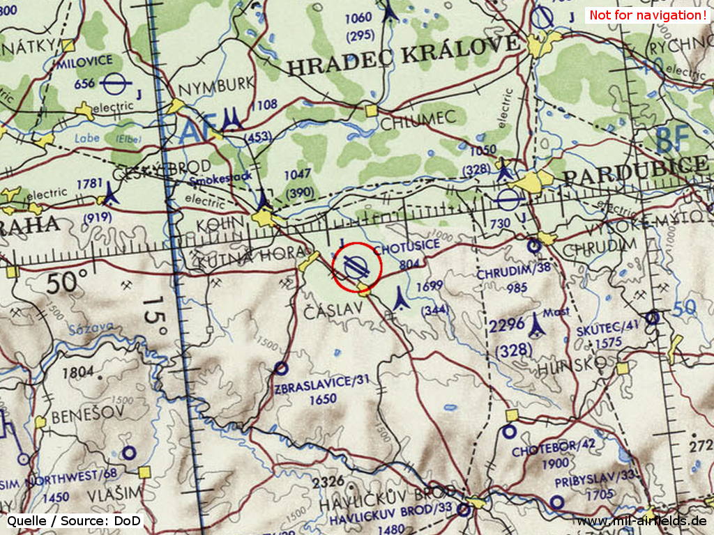
Čáslav Air Base on a map of the US Department of Defense from 1972
Source: ONC E-2 (1972), Perry-Castañeda Library Map Collection, University of Texas at Austin
In the 1980s and early 1990s
Runways
- 14/32: ca. 2400 m
Radio beacons
- LOM 32: 345.75 "CF"
Radio communication
The radio call sign of the airfield was "CENTOGRAF" (198x).
According to western signals intelligence (SIGINT), the airfield was also called "Navigacni Punkt 250" by the Czechoslovak Air Force.
Units
28 SBOLP "Tesinsky": L-29, MiG-23BN, UB (1990).
Today
Use
Air base.
 Follow mil-airfields on Facebook