For historical information only, do not use for navigation or aviation purposes!
| Coordinates | N503710 E0144358 (WGS84) Google Maps |
| Elevation | 912 ft |
| Location indicator | LKHR |
The history of the Cold War airfields: Hradčany
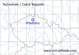
Location of airfield
South of Mimon.
During the Cold War
Use
Soviet air base.
Situation
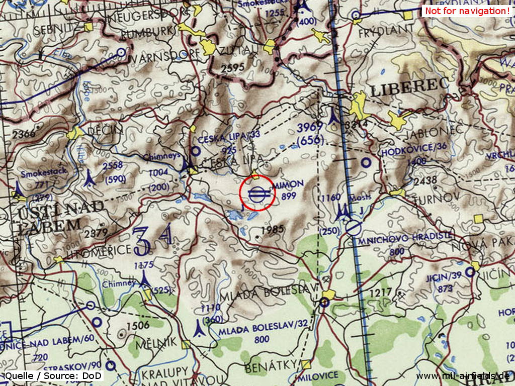
Hradčany/Mimon Air Base on a map of the US Department of Defense from 1973
Source: ONC E-3 (1973), Perry-Castañeda Library Map Collection, University of Texas at Austin
Runways
Data for the year 1990:
- 10/28: 2500 m x 80 m
Radio beacons
Data for the year 1990:
- LOM 28: 444 "ND"
- LMM 28: 215 "N"
- LOM 10: 444 "DN"
- LMM 10: 215 "D"
Radio communication
The radio call sign of the airfield was "NAPAD" (НАПАД) (198x).
According to western signals intelligence (SIGINT), the airfield was also called "Navigacni Punkt 350" by the Czechoslovak Air Force.
Units
IBAP MiG-27 (1990)
Today
Use
Closed.
 Follow mil-airfields on Facebook